


TRIP DETAILS
TRAIL MAP
OVERVIEW
The Canyon of the Muro Blanco has gotten a bad wrap in my opinion. If you do a little browsing online, you'll find it described as a "dangerous" and "grueling" bushwhack: a place where crosscountry horror stories come true. Now, I'm not going to say that it's a walk in the park...unless you like to purposely wade through dense thickets of bush and trees when you go to the park. But it's not that bad compared to other bushwhacks out there.
Of course, I did the trip in late season when the South Fork of the Kings River was low. So I could walk on the riverbed by either boulder hopping with my shoes on or sloshing through the rapids with sturdy sandals on my feet. In early season, the river flow would be way too strong for this to be possible and the amount of bushwhacking would dominate your exposure to open air in the canyon. At elevations above 8000 feet, this wouldn't be much of a problem since the barriers of aspens and dogwoods are pretty forgiving. But between 7000 and 8000 feet, there are certain areas where the canyon narrows and the pines become so dense that the forest is pitch black. And in those areas, you'd be forced to scramble along the steep canyon walls, which would definitely be dangerous.
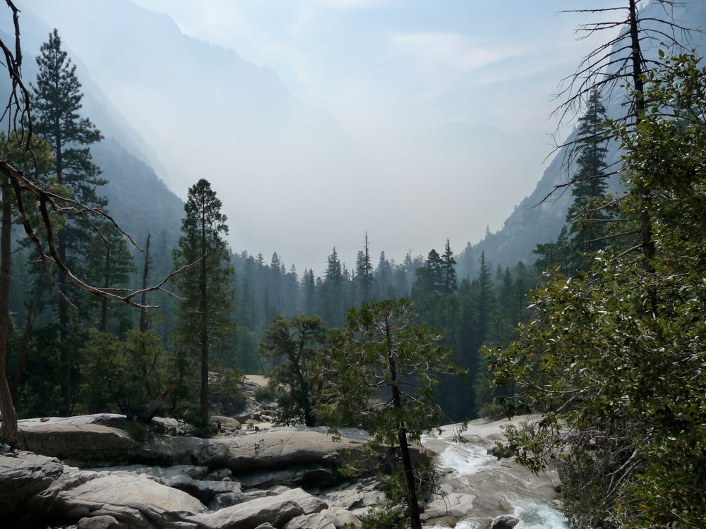
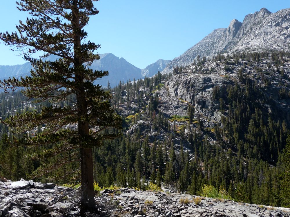
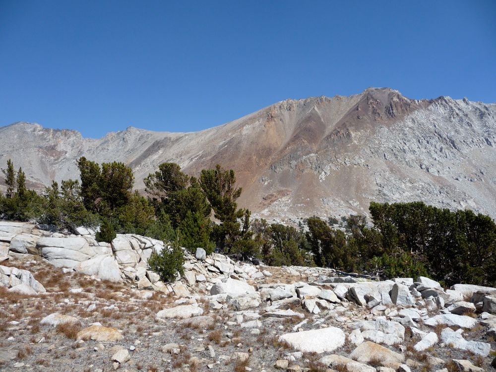
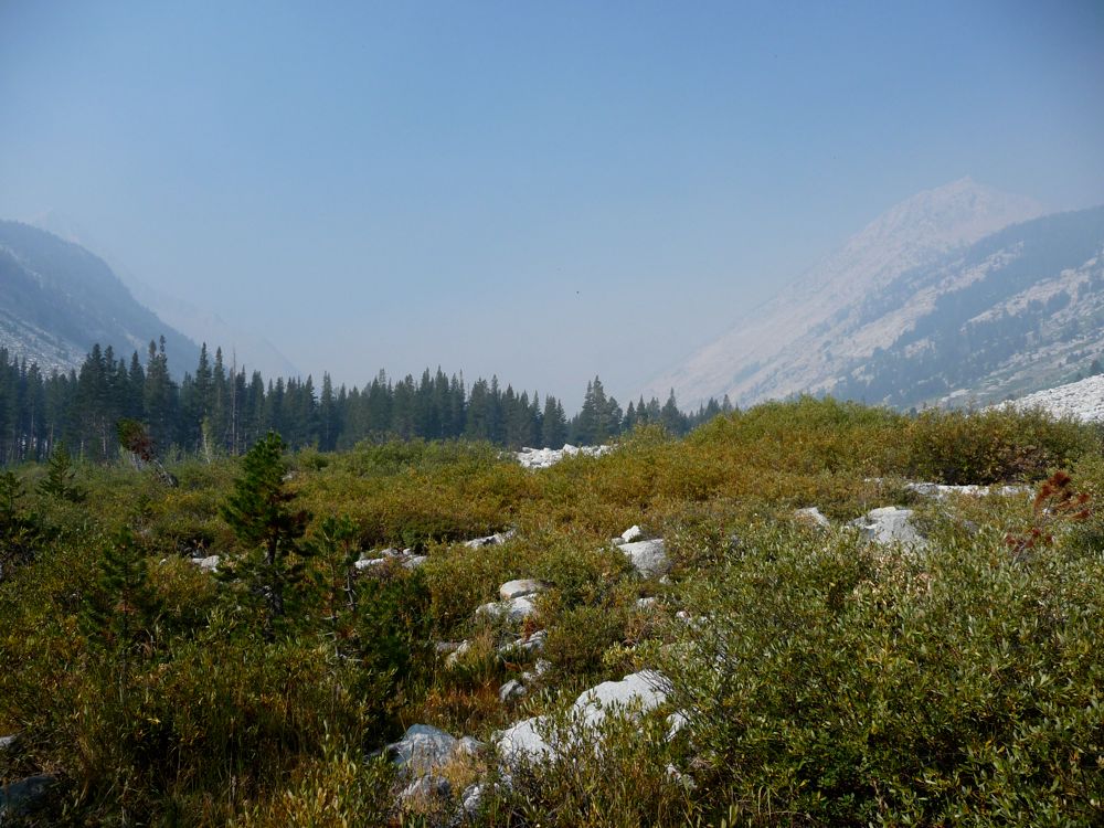
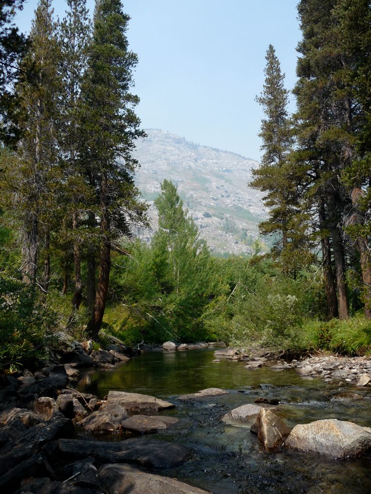
Danger and bushwhackiness issues aside, though, this canyon is truly and absolutely spectacular. For every 20 seconds I spent paying attention to my footing and balance, I spent an equal time just staring in awe at my surroundings. The beauty of the incredible granite canyon walls and the narrow chutes that slice in to them, the peaceful open meadows filled with aspens and dogwoods rich in autumn colors, the aqua blue and turquoise colors of the river water...it's got pretty much everything you could ask for in the Sierras. Plus, I saw three bears in two days. And judging from the tracks and the assortment of feces, I'm sure I could have seen a lot more wildlife if I had waited quietly and patiently for a short time. I'd highly recommend getting into this area if you're looking for an adventure.
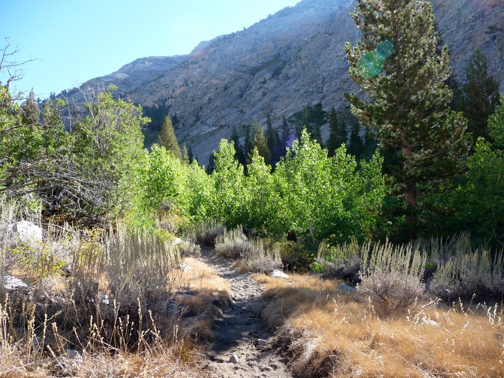
Notes: The trail into the Muro Blanco from the junction of the John Muir trail sections going to Cartridge Pass, Mather Pass, and Pinchot Pass is relatively nice for about 2.5 miles. After this, the trail slowly, slowly fades away until you reach some very hefty talus fields. During this time, you can hike safely along the west bank of the South Fork for the vast majority of time. Eventually, the aspens begin to hang steadily more closely to the river and you're forced to either walk through the water or move away from the river and surmount several talus fields separated by 100-200 foot walls of brush.
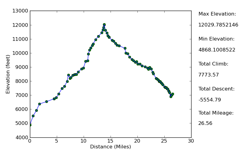
Elevation Profile
TRIP LOG
When I left my apartment in Livermore at 4:00 am, I must admit that I was nagged by a small degree of apprehension. I was still trying to recover from a busted toe that I got from being hit by a car 6 weeks earlier and what was either a cold or the onset of seasonal allergies. On top of that, a
forest fire had been burning along the Don Cecil Trail just south of where I was headed. After a few cups of coffee, though, my nervousness quickly faded and gave way to excitement. I had been itching to see this canyon for quite some time. The
views along
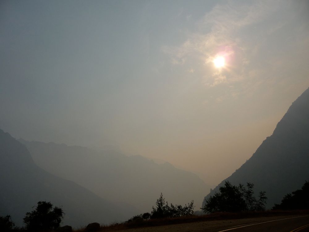
the 180 were really cool, especially when I got deep into the canyon near Cedar Grove. It felt like I was on a different planet.
When I told the ranger at the Roads End permit station that I was going to hike through the canyon of the Muro Blanco, she gave a pause and said, "I hear it's pretty rugged up there", as if I was getting into some deep shit. I told her I'd done my share of bushwhacking and that I'd be ok. Plus, if they had to come rescue me they'd know exactly where to look. She seemed convinced and made a funny comment about how a rescue attempt would give her something exciting to do in the lull they were experiencing with backcountry hikers due to the forest fire, which I thought was pretty funny.
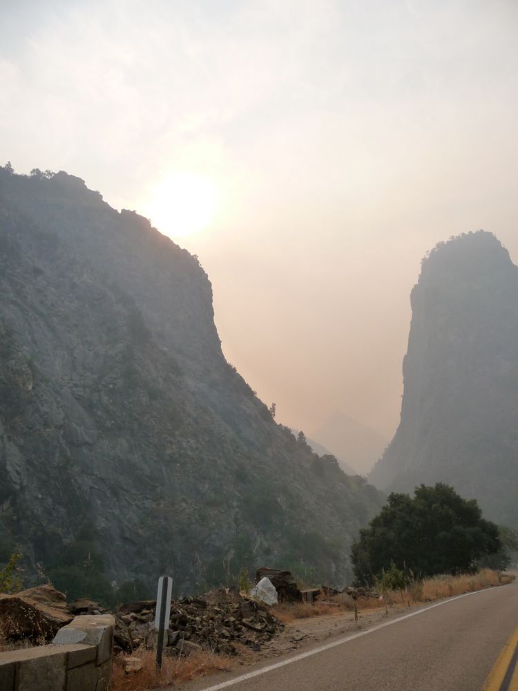
Once I made it to the junction of Bubbs Creek with the South Fork, the smoke was largely behind me. I had some nice
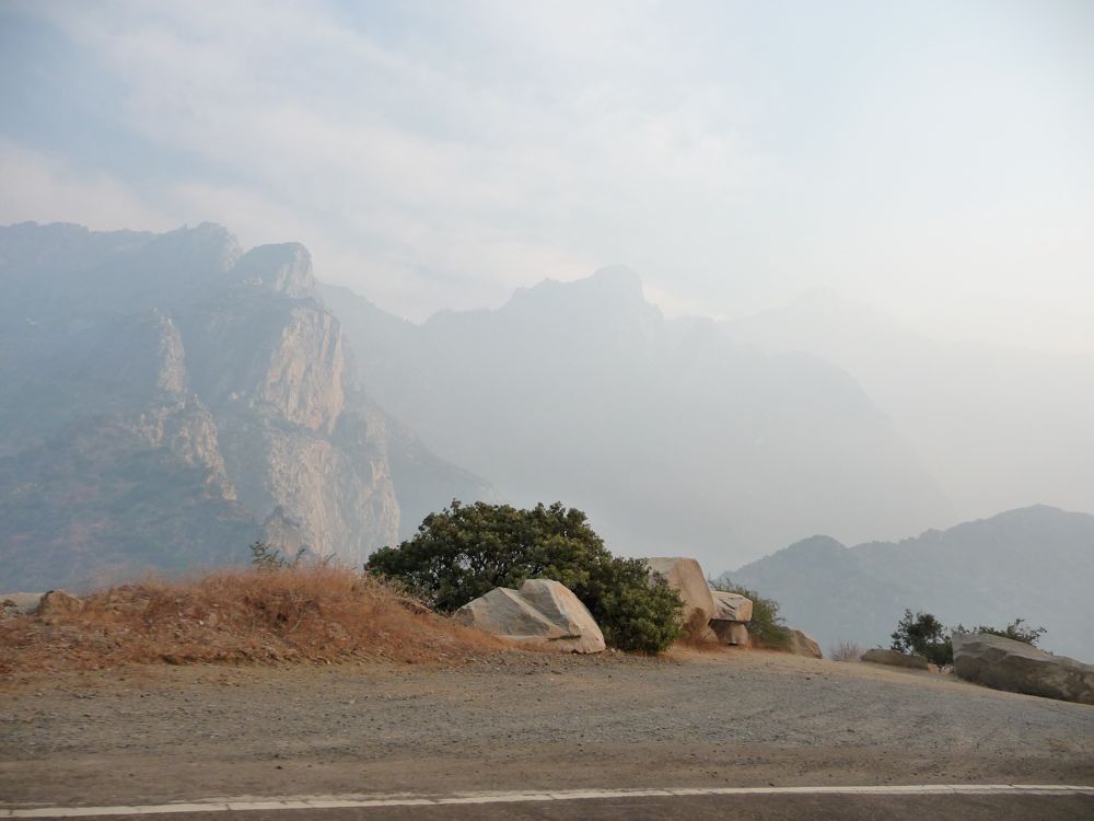
clear views at the Sphinx. But within an hour, the smoke began seeping into the canyon, and I could no longer see the south walls through
the smoke. I stopped for lunch along the
river when I arrived in
Paradise Valley. The
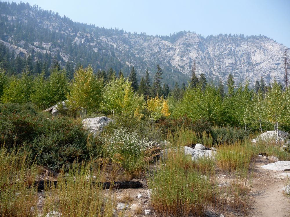
fall colors on the many aspens in Paradise meadow weren't as pronounced as I had hoped they'd be, but I was still hopeful that at higher elevations and along the sun-deprived portions of the canyon they'd be better.
On my way out of the valley, I saw
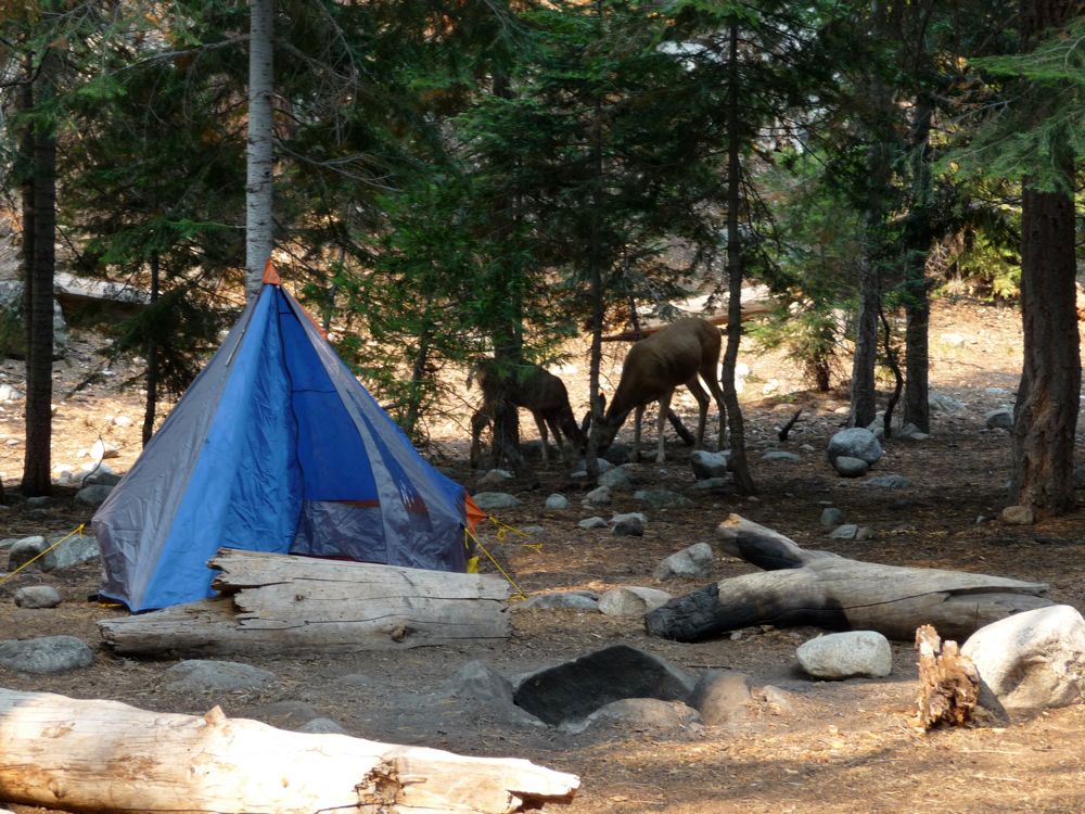
some deer picking at the ground next to somebody's tent, probably licking the ground where there'd been some dish cleaning going on. This was the second time I had traveled up the trail along
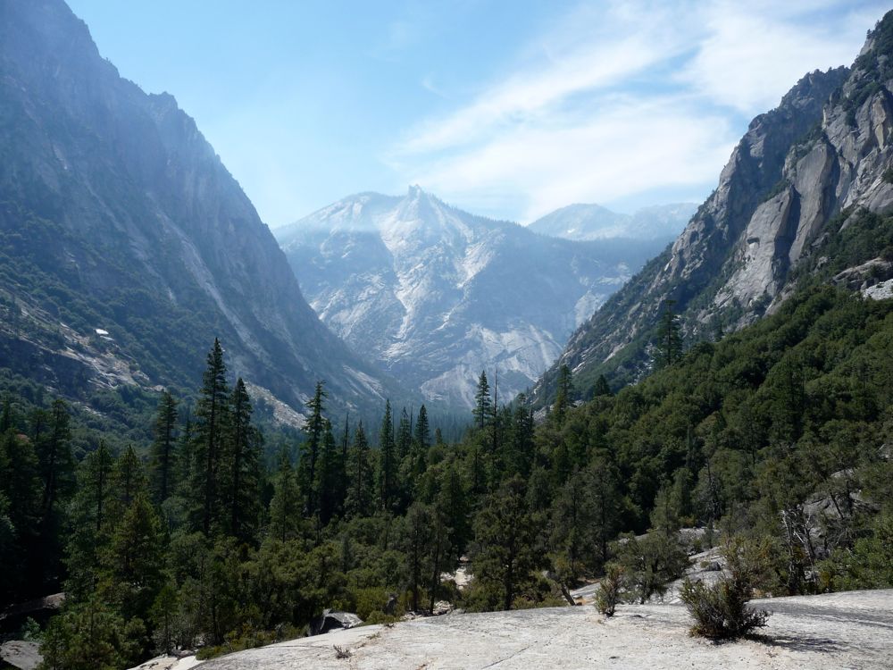
the Woods Creek trail, and it was just as beautiful as I remember it. The highlight was seeing a
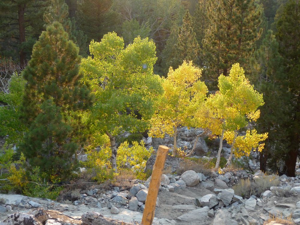
group of aspens that looked like they were on fire. I had thought about camping in the lovely Castle Domes Meadown, but I decided to go all the way to the junction with the Muir trail and then set up camp there for my first night.
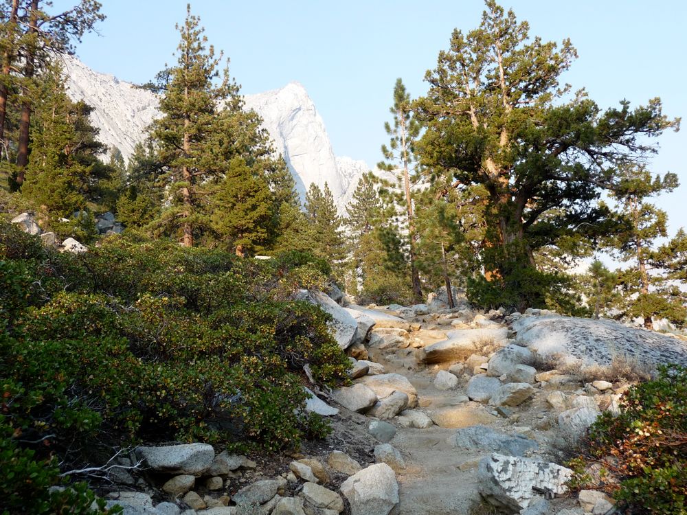
I was up bright and early and on my way up the
John Muir Trail. This section of trail runs primarily along Woods Creek and offers some very nice, easy footing the whole way up and is blooming with great scenes of
groups of aspens,
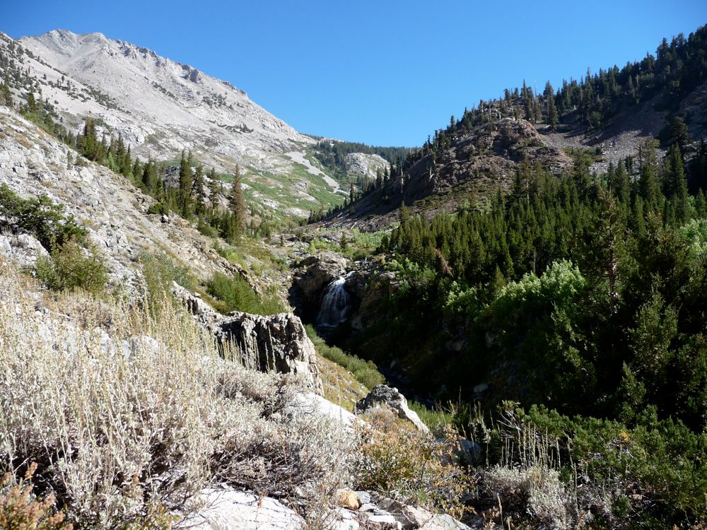
waterfalls, and
steep walls of granite. Eventually the open canyon makes way for a small section of
pine forest where you ascend a series of switchbacks before reaching a granite outcropping with great views to the
east.
Soon after I was at Twin Lakes and hiking on more or less
flat terrain. I stopped for lunch along a little brook and enjoyed the lovely
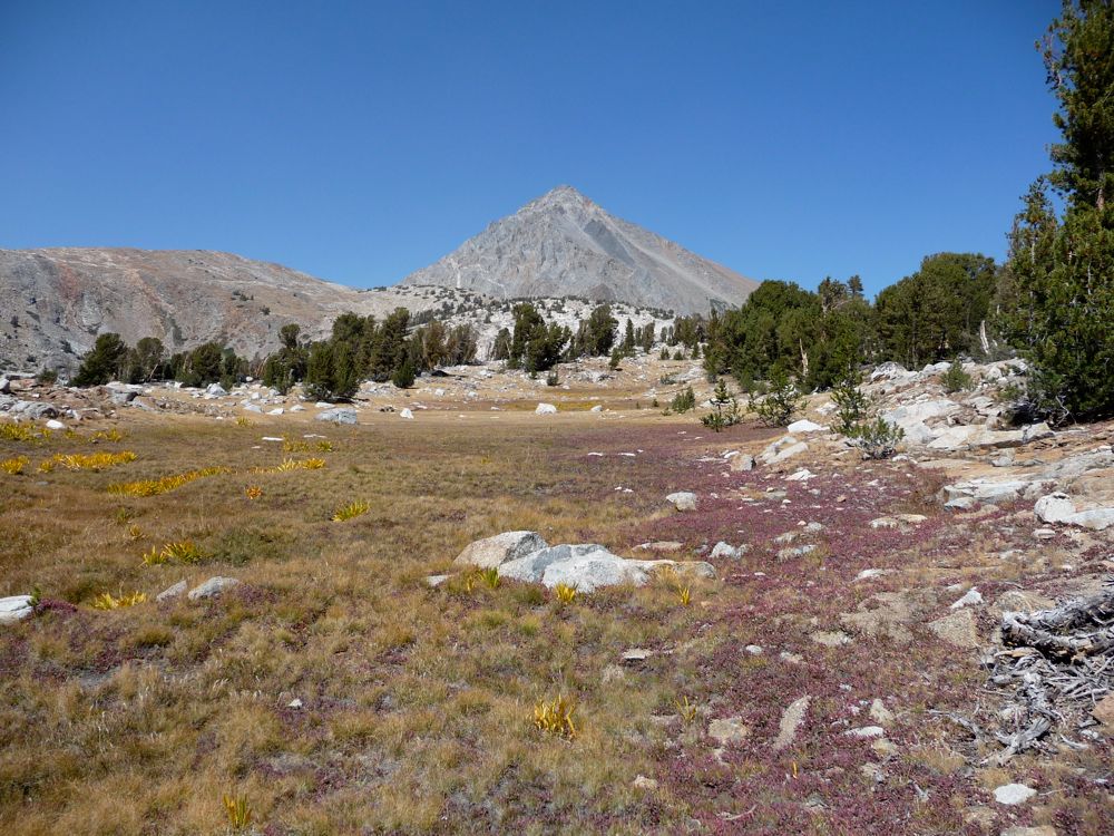
fields of red heather surrounding me. This little basin really has some tremendous
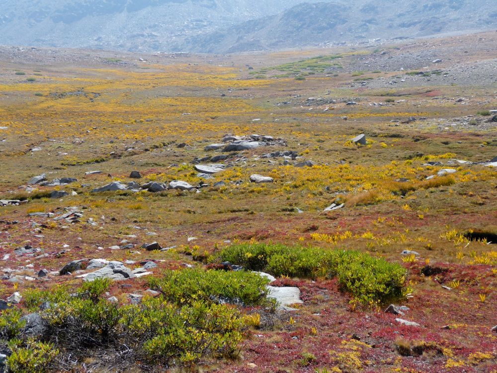
stretches of red heather and that beautiful yellow plant that I don't know the name of (if anyone reads this who knows, please email me and tell me). The ascent up to Pinchot Pass is nice and gradual, alternating between flat stretches and switchbacks. On the way you're treated to closer views of the
chocolate slopes and
emerald pools that dot the basin.
When I finally reached the
pass, I was quite dazzled by the view of
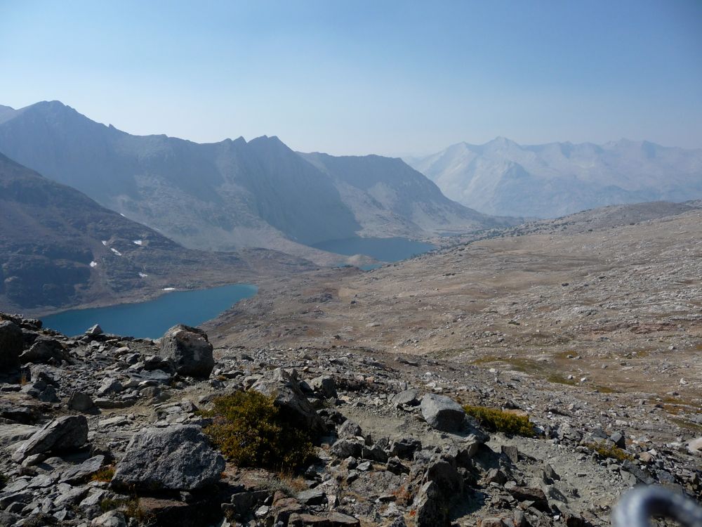
Lake Majorlie. I stopped to eat a protein bar and dusted off the remainder of water in the process, and I got that irresistible urge to swim I get when I'm thirsty. So I made a nice brisk descent from the pass and jumped in the lake from a nice spot along
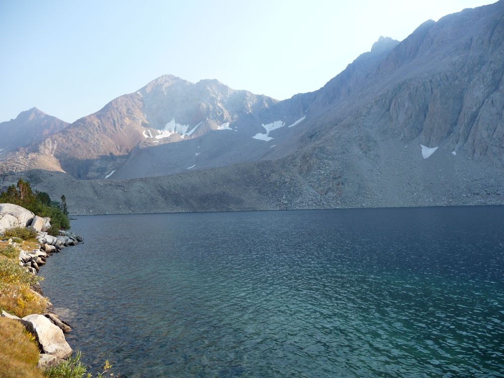
the shore. It was pretty frigid, so I didn't spend much time in the water. But damn, damn, damn, did it feel good lying next to that lake and drying off in the sun. I wish I could jump in an alpine lake and dry off while lying on a granite rock every day for the rest of my life. I really do.
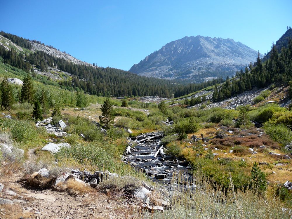
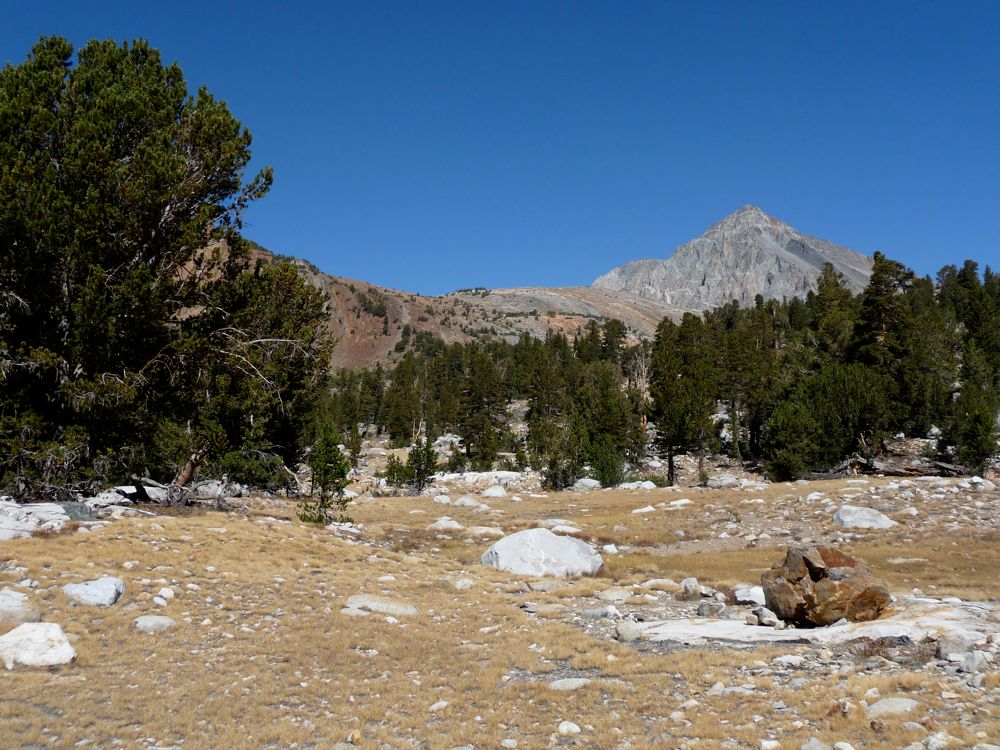
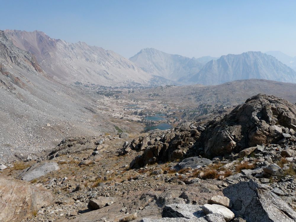
Bench Lake wasn't too far away, and I made haste down the trail, taking in the phenomenal views
toward the canyon ahead. The sidetrack to
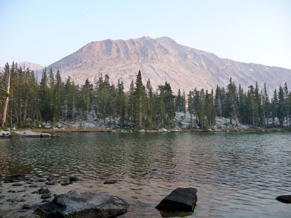
Bench Lake is only about 1.5 miles, and it's well worth it. I had seen countless pictures of
Arrow Peak in the last few weeks, and I was not disappointed by the real thing. It wasn't long after the
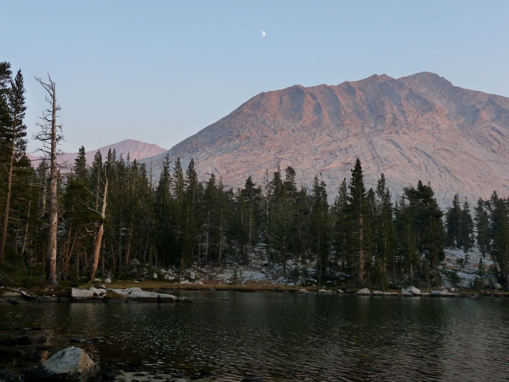
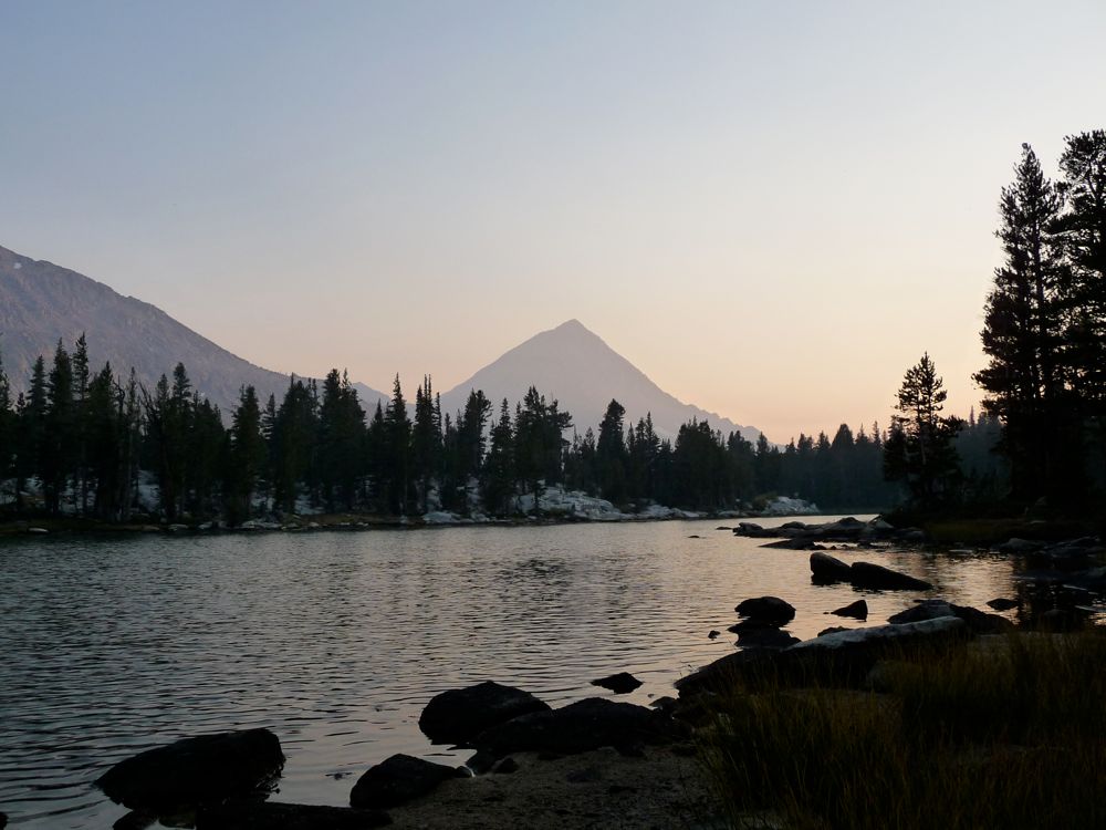
moon peaked out above the alpenglow on the ridge across the lake before I was done with my dinner and asleep in my tent. I had an exciting day ahead of me and I wanted to have the most time possible to enjoy the canyon when I finally made my way down there.
Every time I got up to pee during the night, I'd look toward the perfectly still lake and think about how awesome the reflection of arrow peak was going to look in the morning. I'd also look at the stars, of course, which weren't blocked by any smoke at all and were pretty damned spectacular. When 5:45 am rolled around, I got up and headed down to the shore with my camera and my water bottles and filter, and waited for the show to begin. I wasn't let down. The
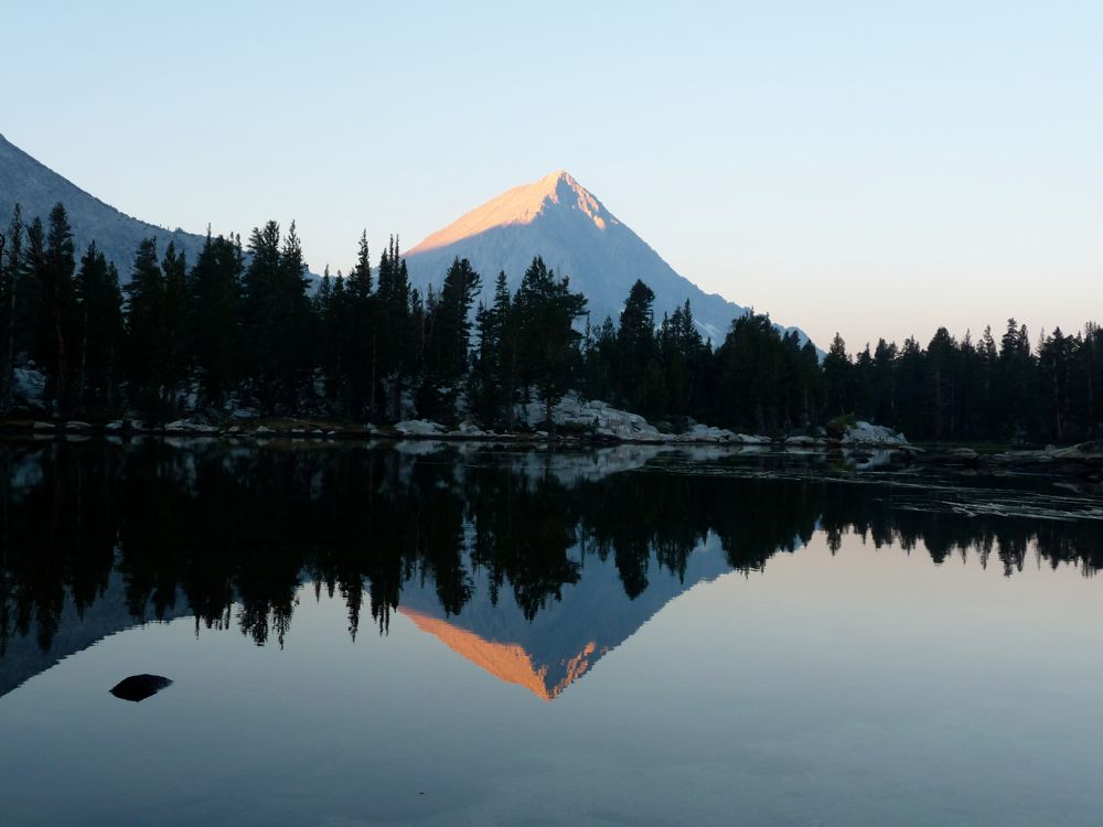
reflections were just as grand as I'd hoped they'd be.
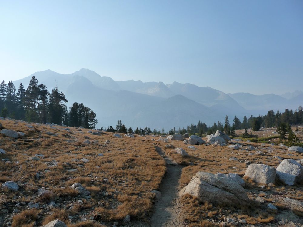
I soaked the lake up for awhile and then made haste to get some food in my stomach and get moving. All night I had been debating whether or not I'd return to the John Muir trail and make a nice, easy descent down to the canyon or head southwest and try to descend along the steep cliffs at the end of the "bench". On the map it looks like there's a decent grade that'll get you down, and I vaguely recalled reading about such a descent in the trip report here. Taking this shortcut would save me some time and mileage, but the small part of me that's a stubborn, hard-core risk-minimizer decided against it. I mean, I was about to travel through 8 miles of canyon notorious for its ability to injure hikers and leave them bitter at the very essence of nature. So I might as well err on the side of caution for as long as I could.
I made haste and managed to average 4.5 miles per hour on my way back to the JMT. But not without stopping for a few moments to enjoy the site of sunrays striking the amazingly
polished granite along the trail. Seriously, I've never seen such shiny granite. It's almost as if the NPS hired a group of janitors to buff every exposed slab.
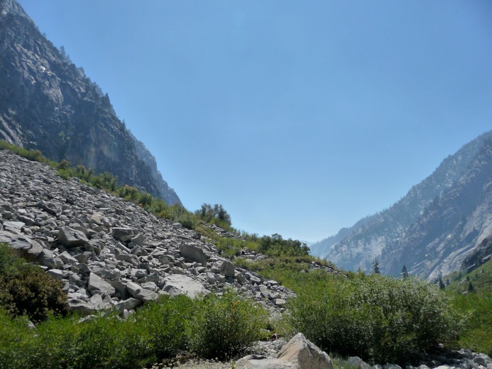
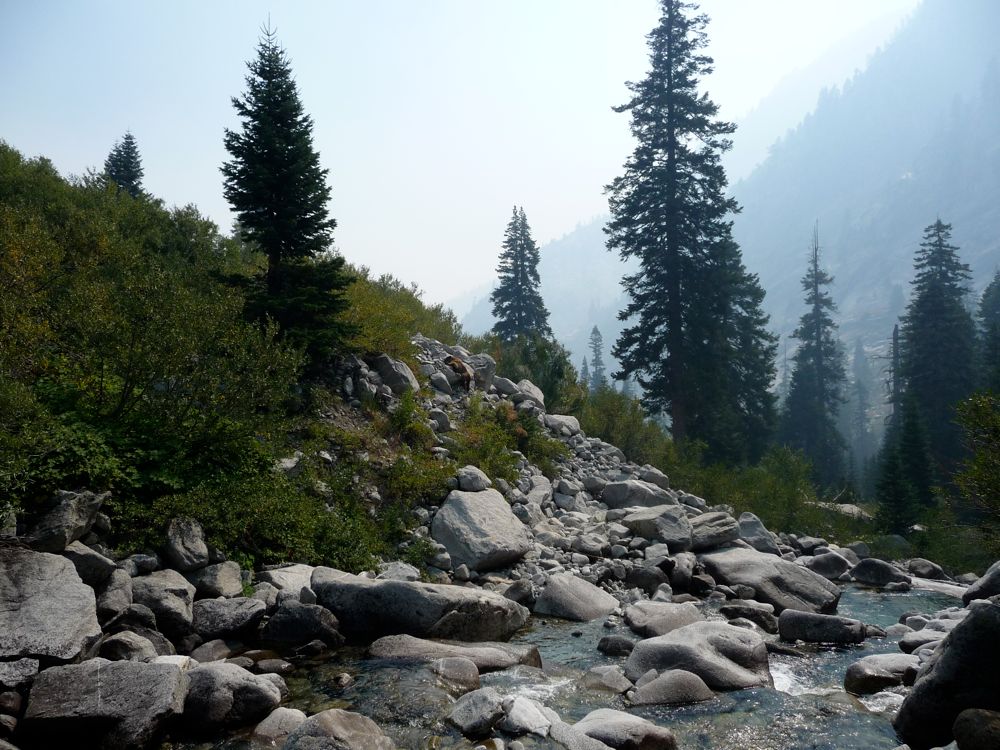
It didn't take long to get down into the canyon, and as soon as I crossed the South Fork River I started heading south. I remembered reading that the trail to Cartridge pass wasn't maintained, but that it was still a "luxury" compared to what lay ahead. And that's true. There are lots of unsawed logs and overgrown bushes crossing the trail, but it's not too bad. And from the amount of horse manure, it looks as if it's still used quite frequently. I started to lose the trail in a forested area about .6 miles north of the Cartridge Pass branch-off, but I wasn't too set on following it anyway, so I just kept hiking along the bank of the river. Finally, I reached a clearing where I had fully
lost it, but the
terrain over the next mile or mile and a half wasn't so bad. I spent most of my time
along the river on little dents in the brush that might have been the result of humans or just game use trails. Ocassionally, it would get pretty thick, though, and I'd move over to boulder hop
on the talus fields.
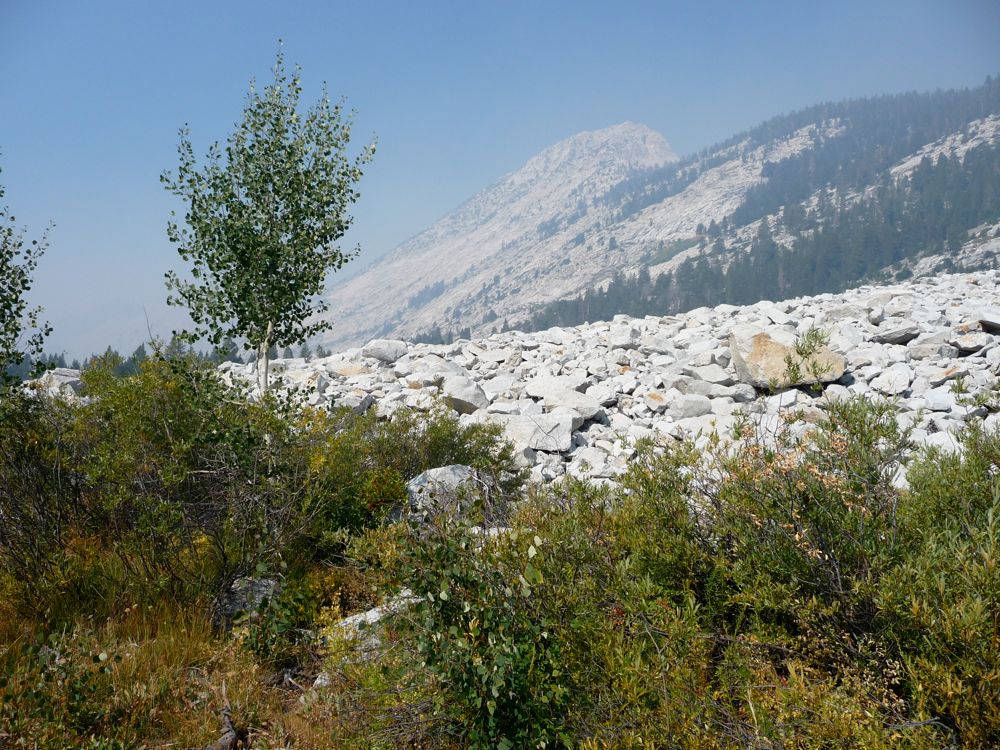
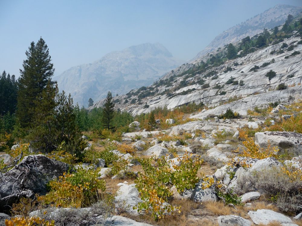
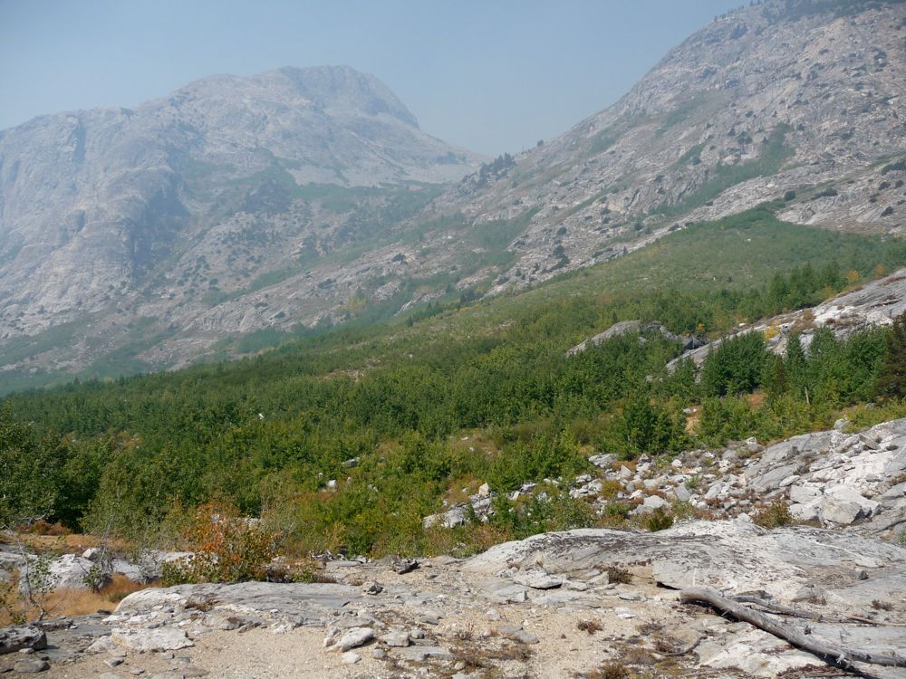
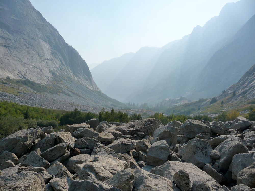
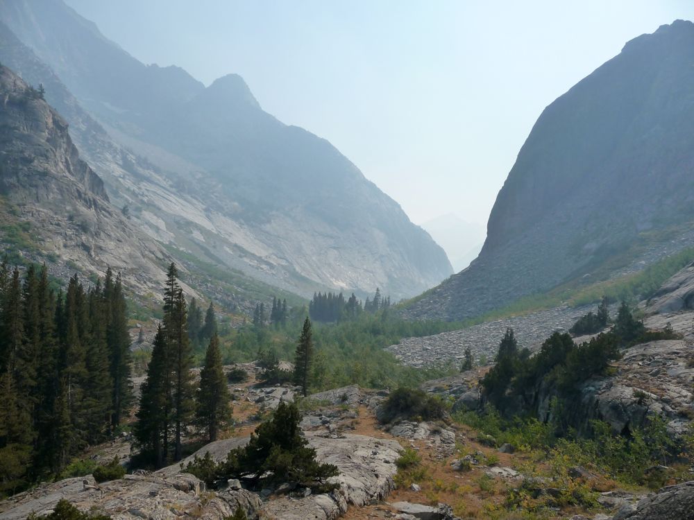
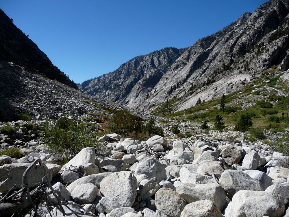
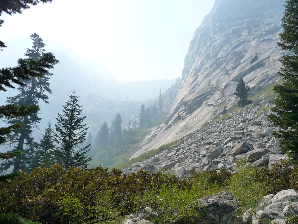
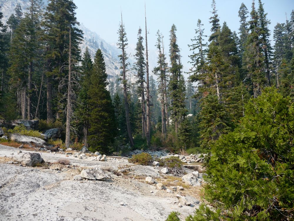
As you can see from
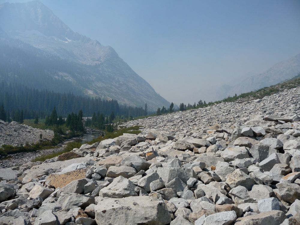
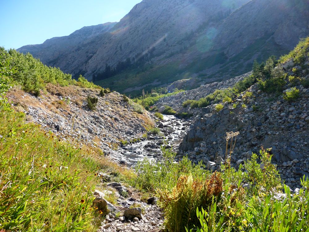
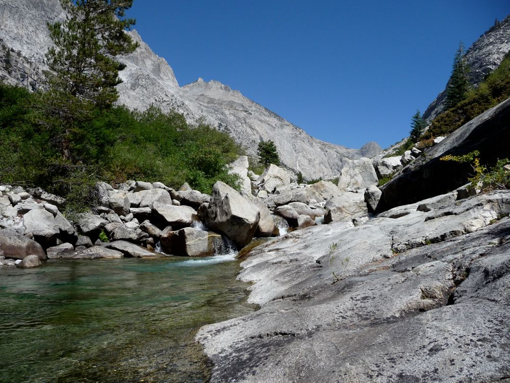
this picture, there's a whole lot of talus to be reckoned with. Fortunately, I'm a huge fan of big honking talus like this. Sure, some of the sturdiest, most comfortable looking boulders are resting on a small pivot point and'll flop over at the slightest touch, but as long as you take it slow and test your footing, it's a relatively safe enterprise in my opinion. From about 9600 ft. to 9200 ft.--about the stretch of a mile-- it's basically a back and forth between the talus and the grassy river bank. And this section couldn't be any more beautiful. When you get down near the river you see these perfectly delicate meadows dotted with pines and split by the
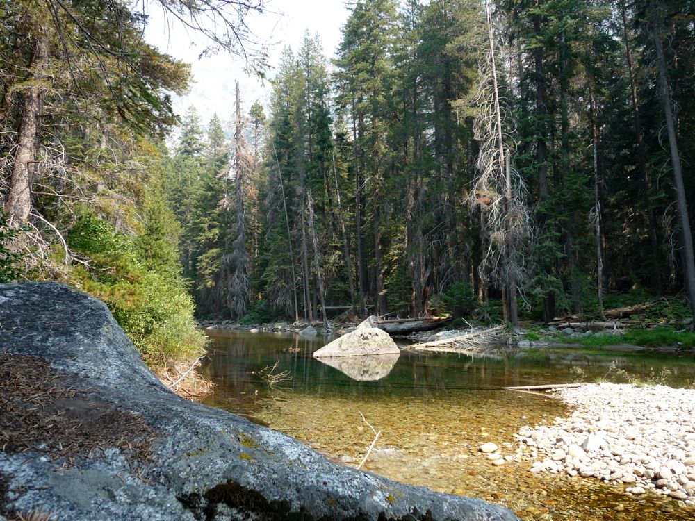
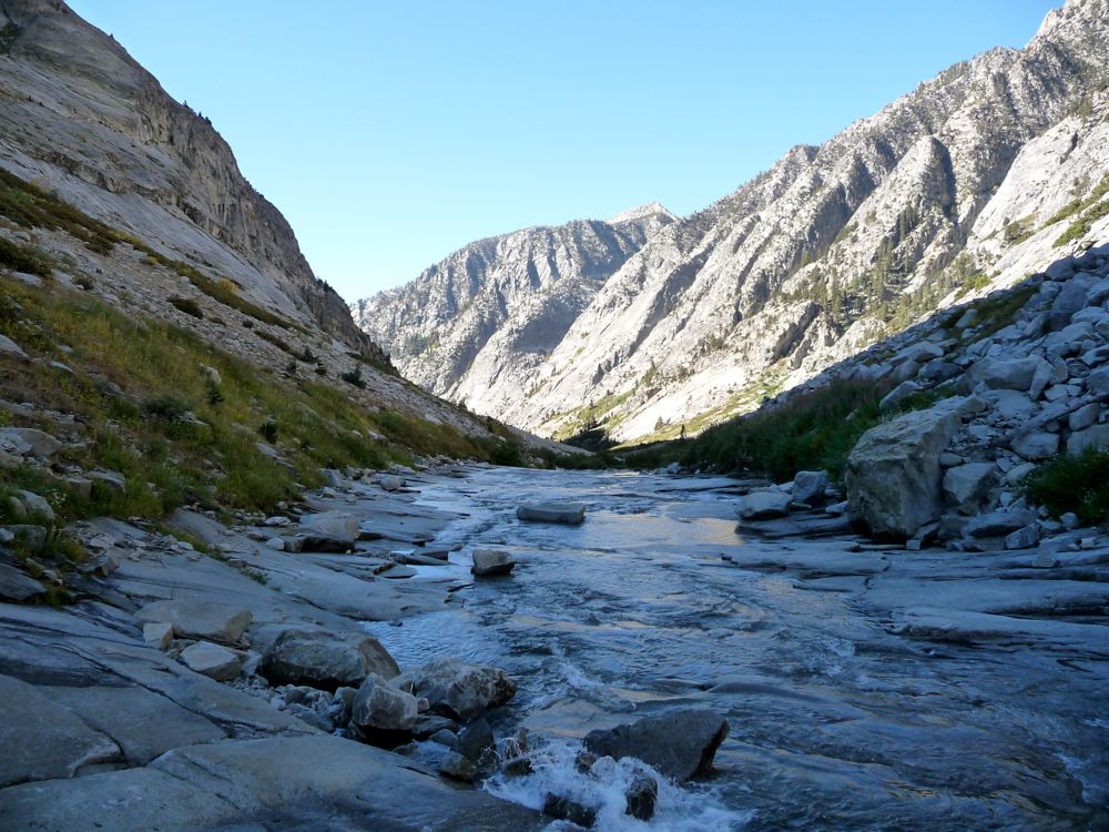
calm flow of the water. If I had to hike two full days just to see this one stretch, I assure you, I would do it.
Somewhere around 9400 feet elevation I heard bells ringing. It wasn't the sound of a bear bell; it was more like a big, fat cowbell. My view to the east across the river was blocked at this point, and I knew it was coming from that direction. When I finally got to a clearing, I was surprised to see a group of
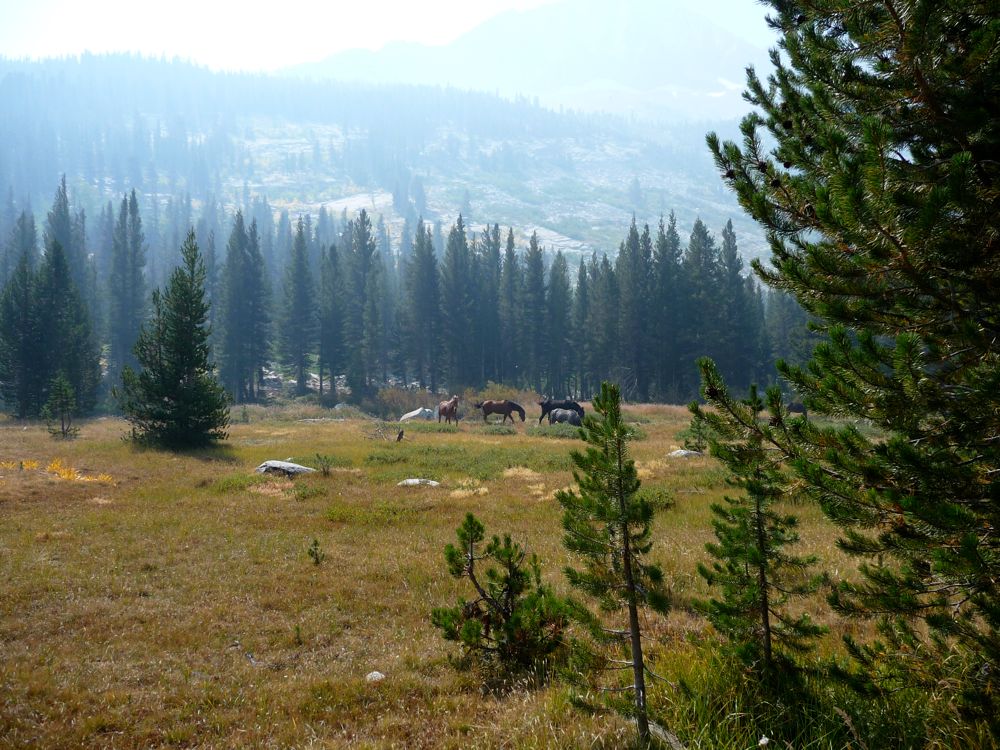
horses (a friend of mine saw them and told me they're probably
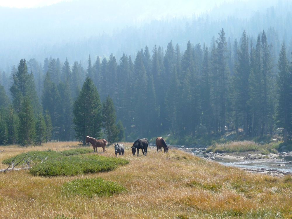
calm flow of the water, but I can't tell the difference). I stood around and did a few 360s to try and figure out if someone was in charge or not, but I couldn't find anybody to speak of. So I'm still kinda curious what sort of outfit they were a part of. Obviously they didn't put the cowbells on themselves.
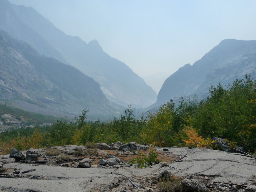
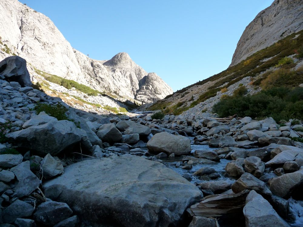
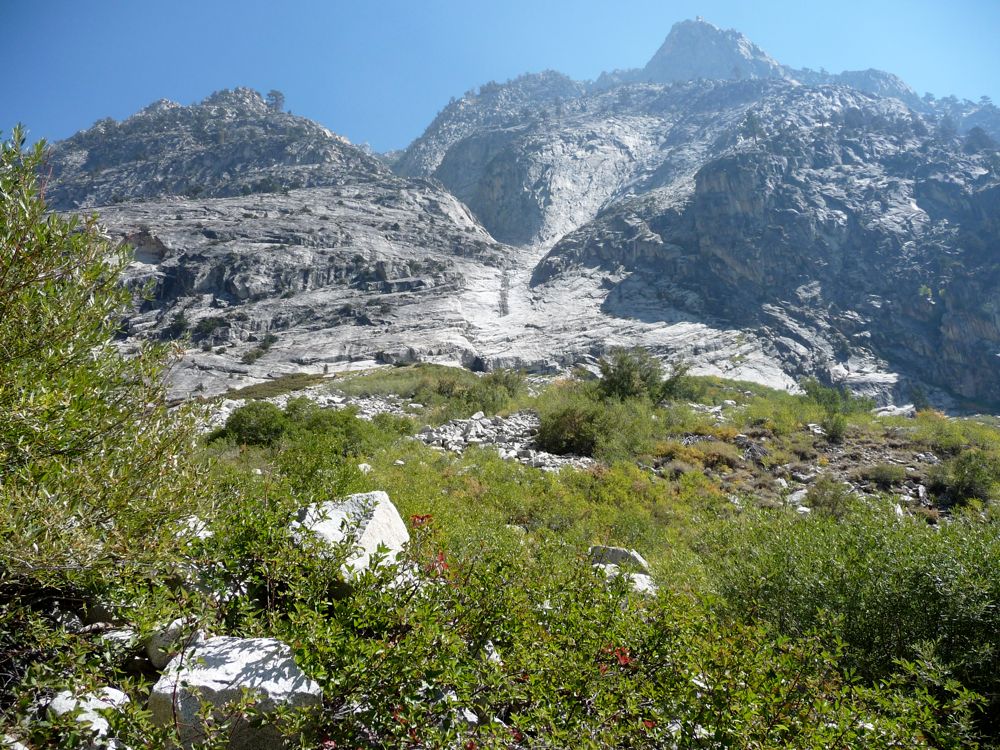
At this point I was feeling pretty damned good and loving the hell out of this
canyon. So far, no nasty bending back of huge or thorny branches or scraped up legs or trickles of blood or any of that nasty stuff. Only awesome boulder hopping on talus or
the riverbed. At about 9100 feet, the going got a little harder. On the
west side of the river there was a nice thick wall of aspens in front of me. Fortunately, the
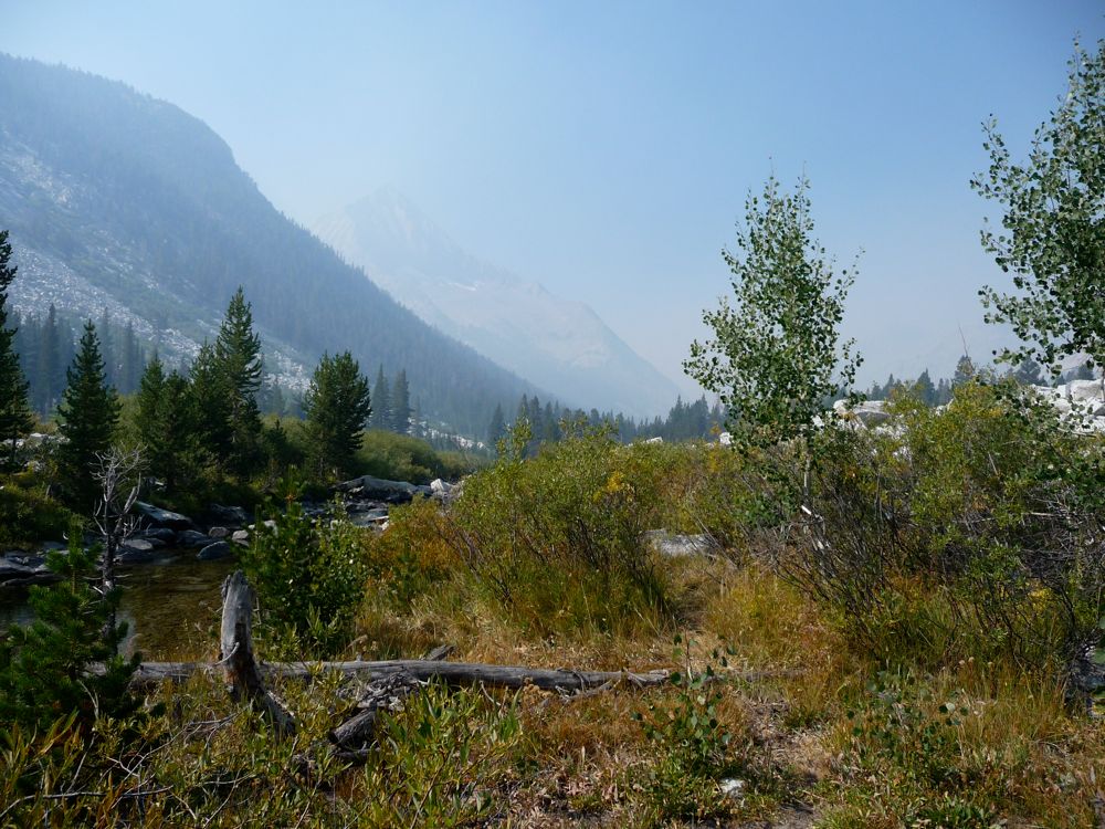
east side didn't look so bad. So this is where I disagree with what I read in Arnot's book and other trip reports: crossing the river does make your life a hell of a lot easier. Sure, it might be incredibly difficult in June or July. But if it's later in the season and the river's low enough, I say do it. I probably crossed somewhere between 15 and 20 times on my way down. And usually when I did, I'd be walking on a luxurious
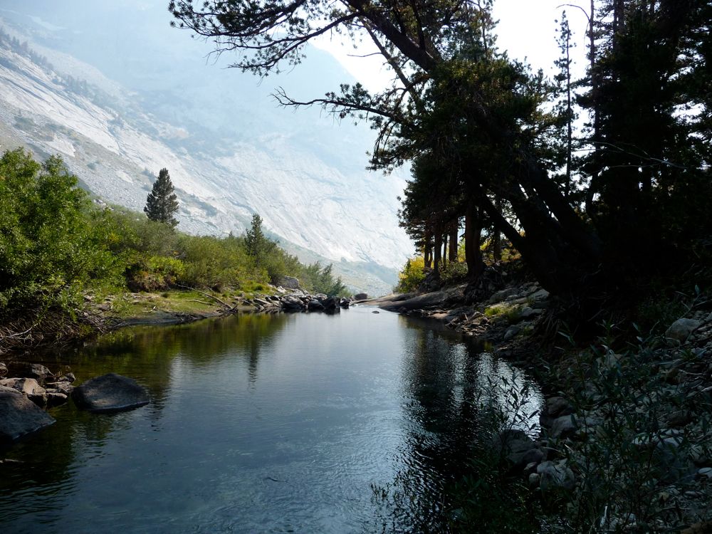
granite sidewalk looking at a thick,
green wall on the other side of the river.
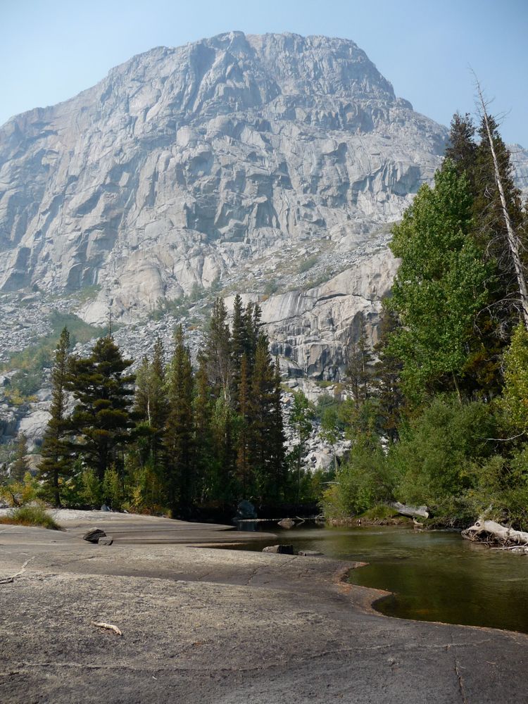
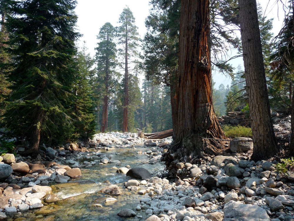
When I think about the
spot where I had lunch that afternoon, a big ol smile shines across my face. The quaking aspen you see in that picture was really doing its name justice, and I was just hypnotized by it while I savored the flavor of peanut butter and honey. I was at about 9000 feet elevation at that point, and the going would get a little gnarly in the next few hours. From about 9000 feet down to 8600 feet, I'd say that you spend about a third of your time cracking branches while trying to navigate between thick collections of
aspens, Chinquapin, and dogwoods, a third of your time walking over
boulder fields, and a third of the time in some lovely
open air spots. There are plenty of stands of
lodgepoles and gorgeous sections of
river to make up for the itchy feeling on your body from all the bushwhacking action. Again, I'd say stay near the river and don't be afraid to cross it if things look easier. I probably did 50/50 on the east/west side through this stretch.
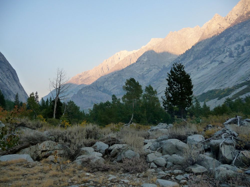
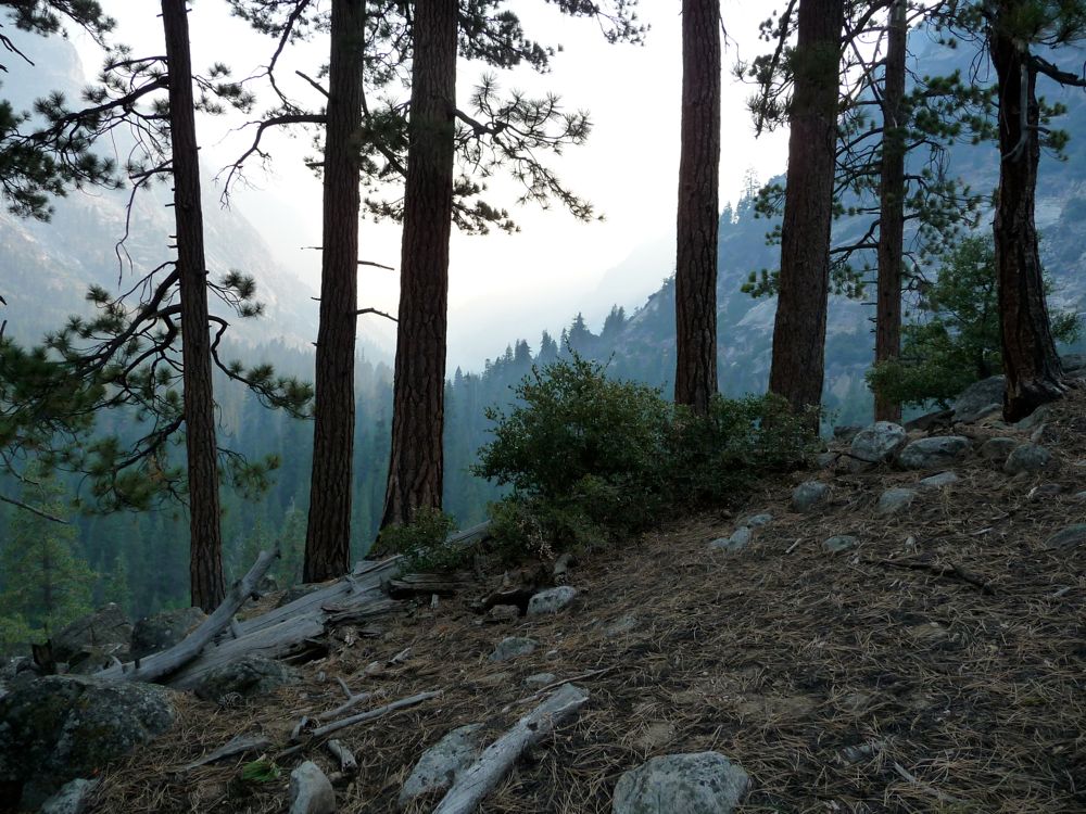
As the sun started to fall behind the west wall of the canyon,
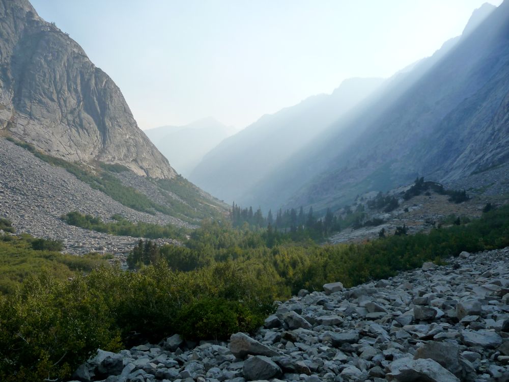
magnificent streaks of light poured through the canyon and the
granite took on an amazing glow. At this point I was confident I'd make it out of the canyon on time and alive, so I really took my time to take in the scenery and concentrate on my footing.
At about 8500 feet, I found a nice flat section to set up
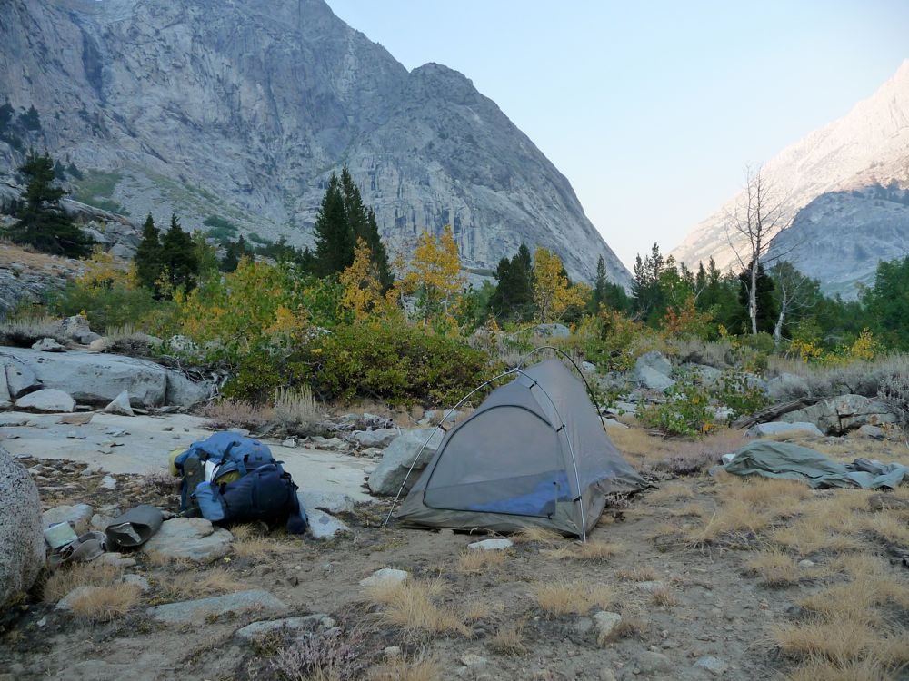
my tent. What I did next might sound a little crazy, but if you ever have the chance to do it, I highly recommend trying it out. It was pretty chilly out, so my desire to go swim and clean myself off was offset by the desire to not freeze my ass off while trying to dry off. So I decided to light a fire that I'd use to warm up after jumping in the river. I didn't want to get my clothes wet if I didn't have to, so I stripped naked, ran down to the river, and jumped in. And man, it was friggin icy in that water. I managed to stay in long enough to rub off all the dirt and blood that had accumulated on my body, and then I ran back to the fire as quick as I could, trying to avoid the giant piles of bear poo on the way. Drying off with the heat from that fire and watching the shadows climb up the
mountains. was one of the best feelings I've ever had in my life. I was a
happy camper.
I ate dinner with an alpenglow show as entertainment, drank a cup of tea, and enjoyed the warmth of the fire until about 10 or so and then called it a night. I overlooked the fact that I was out in the open and that the canyon breezes were pretty strong, so I didn't put up my fly when I set up my tent. Note to self: if sleeping in a canyon without trees around, put up your damn fly to get better sleep.
When looking back at this trip, if I had decide which day was better: the third or the fourth, I'd be hard pressed. They were both so sensational that I can't really make up my mind. I don't know, maybe I just have a fetish for isolated, rugged canyons. But there's a certain gentleness to the Muro Blanco that separates it from the others in a way. What do I mean by gentleness? I can imagine you might think I'm just preaching some bullshit, hippy slang with a sentence like that.
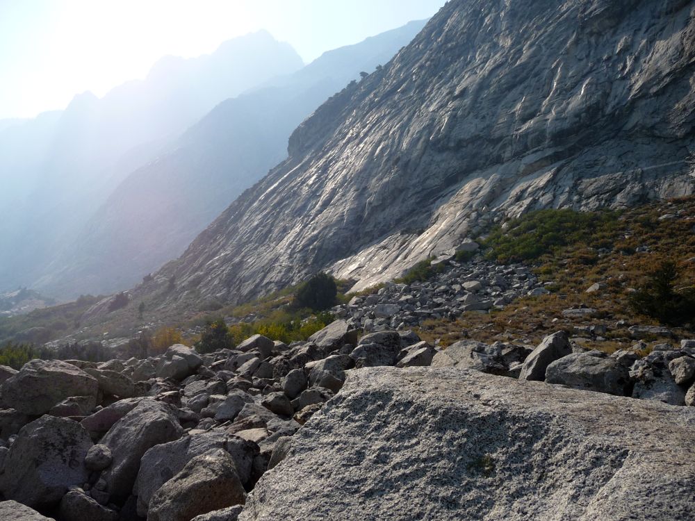
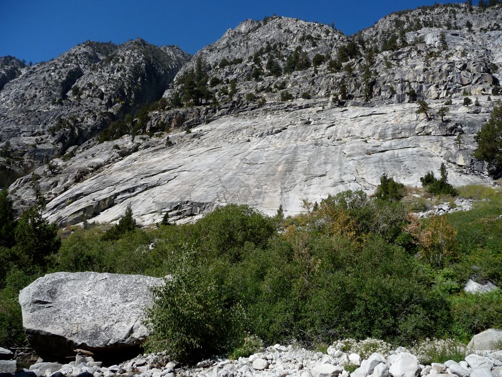
Well, take for example the inviting
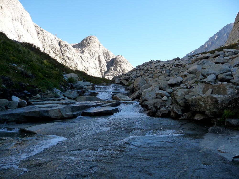
staircase of rock running along the river or the smooth granite
embankment that started me off on this morning. Here I am comfortably moseying down the canyon on this inviting terrain able to see hundreds of yards
ahead and
behind at times. And at the same time, there's a feeling of being safely "trapped" between the sharp
walls and
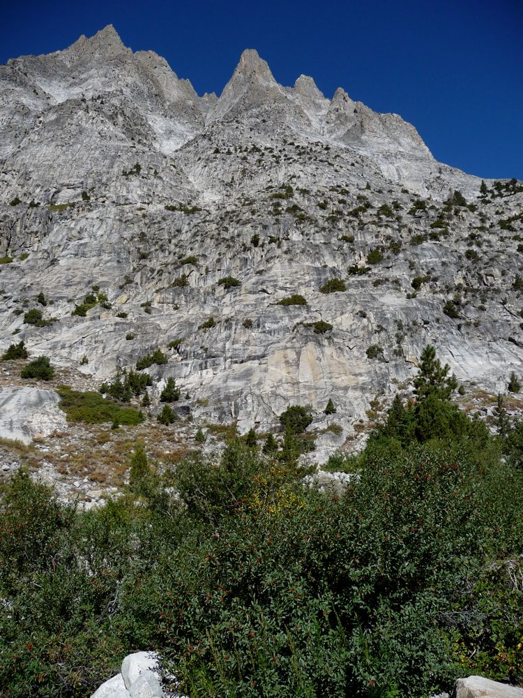
peaks on each side. It also helps that
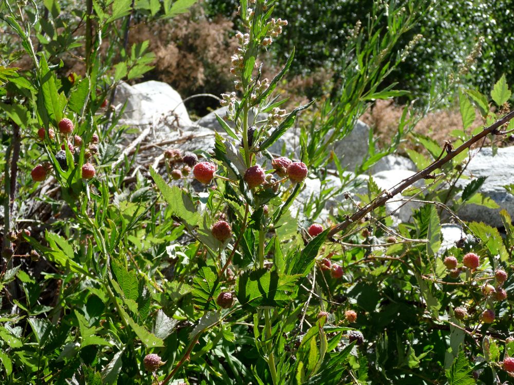
raspberries coat the river from about 8500 to 8000 feet. I must have eaten two bushels full on the way down. I'm not going to lie and say "Oh, they were the best I've ever had" just because I found them out in nature and they were "organic" as can be. They were just about as good as any others I've tried, though, and it put me in a good mood to be chewing on some fresh fruit.
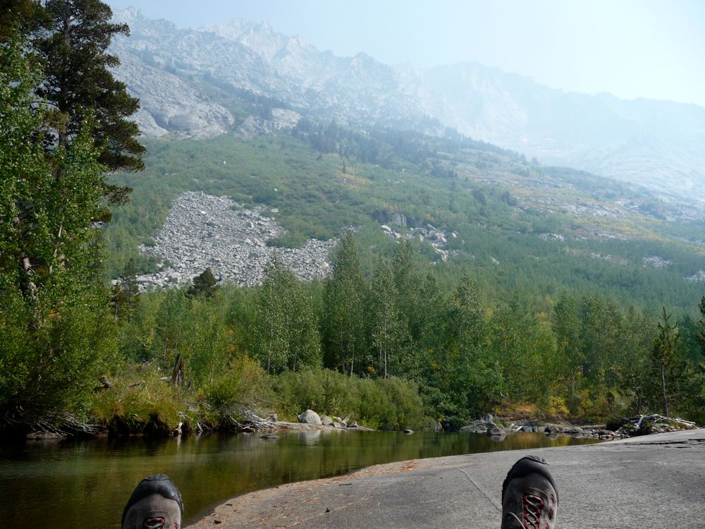
Along this entire stretch from 8500 to 8000 feet the going was incredibly easy for me. As I mentioned before, there are plenty of
easy stretches of granite along the bank of the river. And because of the gradual slope and width of the canyon in this region, the river actually splits into two, and sometimes three, separate tributaries. So you can pick the one that seems easiest. In fact, some of the tributaries were bone dry so that I was basically walking down a gravel path in many cases. And where there was water, the separation between boulders was always manageable for a hop, skip, or a jump.
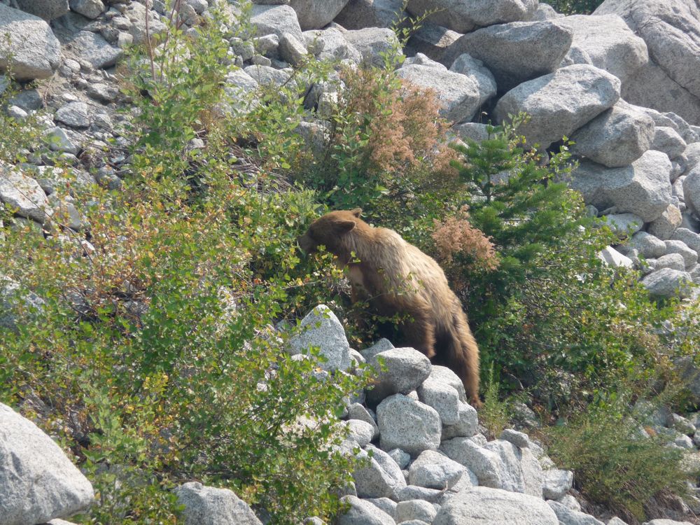
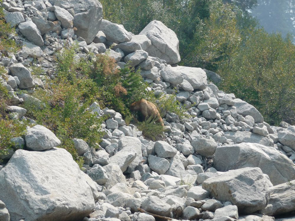
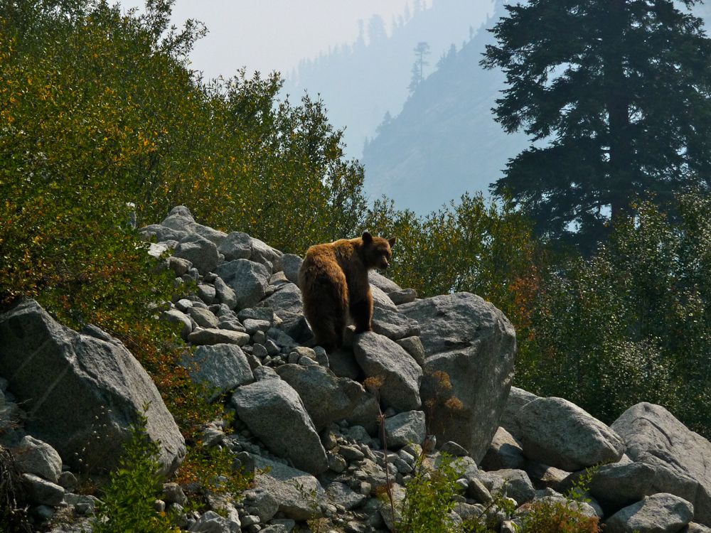
Right before I stopped for lunch, I startled a bear about 50 yards ahead of me. The river had grown quiet so I could hear the sounds of twigs snapping as he darted away, and by the time I got my camera out, I could only get a shot of his
tiny backside. It's hard to see, but it's a little brown speckle in the horizontal center about a third of the way up in this picture. I was really upset that I wasn't quicker with my camera, but that feeling would soon be alleviated by a few more bear encounters that I'll tell you about.
About an hour after lunch, I came up to the junction with
Kid Creek. The footing here was surprisingly easy, so I was paying more attention to the amazing
canyon walls than my steps, and I was lucky that I did. As I began to cross the river from the west bank to the east bank, I noticed a little
black bear romping around in
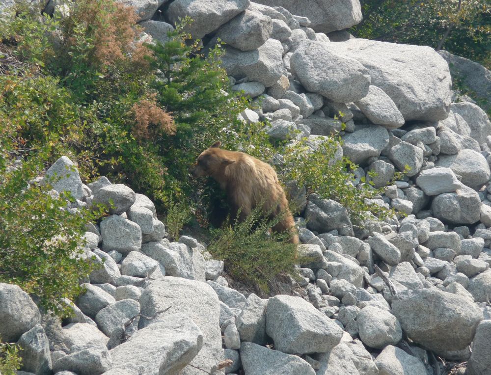
the bushes about 30 yards away from me. The rapids in the river were loud enough that he couldn't hear me, and he was far too involved in
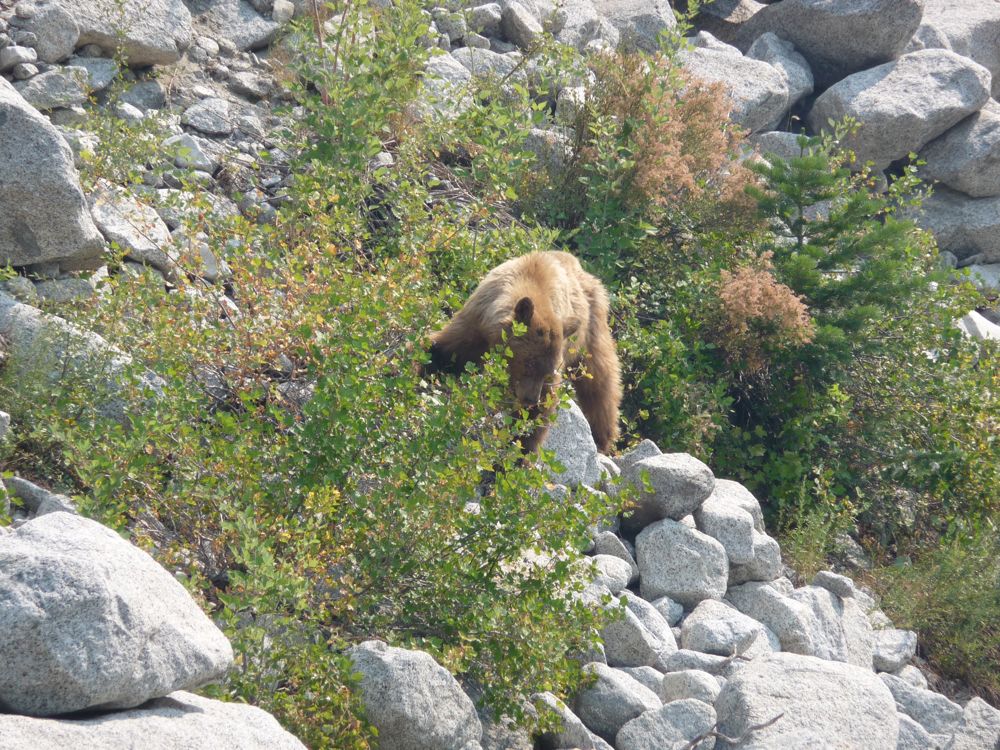
devouring elderberries to notice me. So I crept gradually closer, crossing rock after rock until I was right in the middle of the river and had a nice close view of him. When I reached a spot about 15 yards away from the guy (I don't know if it was a male or female, but I'll use the masculine anyway), I stood and contentedly watched him move from bush to bush and dig away at the berries for about 5 minutes. Eventually, my patience was overtaken by boredom and that male tendency to disturb nature (partly because he was standing directly along the path I wanted to take). So I shouted "Hey bear, get out the way!". His first reaction was to
dart up the rocks, and when he had reached a reasonable height, he turned and
stared at me for a few seconds. I won't lie and say that no fear crept up in my stomach as he paused, but I was pretty confident he'd leave me be, and he did.
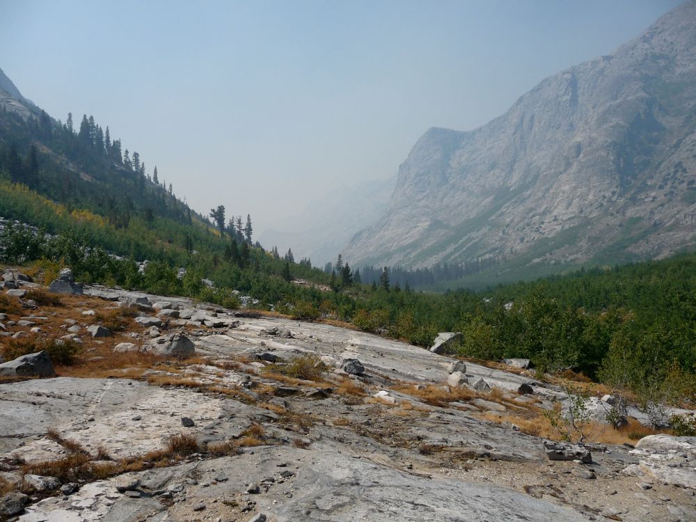
So after this bit of excitement, I was feeling like the day could end right there and then, and I'd be just peachy. But I still had about 1.5 horizontal miles and 1000 vertical feet to get past, and in my opinion, this last stretch is probably the toughest in the canyon. Between 8000 and 7800 feet, there's a nice assortment of smooth
granite banks and
open forest. But you can see from looking at the topo map that the canyon gets progressively narrower from about 7800 to 7300 feet (there are a couple of exceptions, but for the most part it's true), and that's where things get tricky.
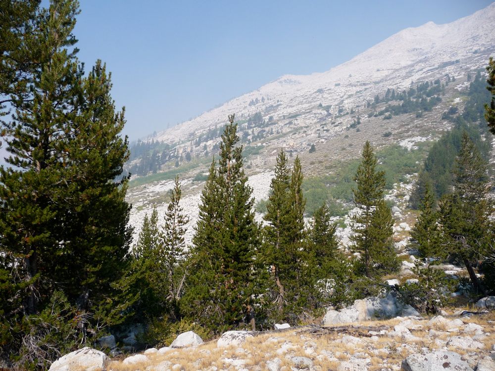
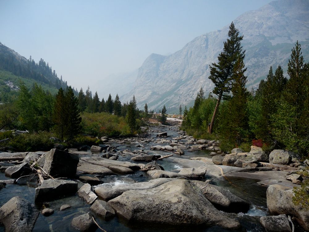
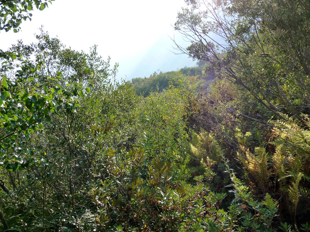
The bush started to get so consistently thick around 7700 feet that I decided I was going to stick to the river even if it meant getting a little wet. I donned my Chaco sandals (apparently Chaco got bought out by Zappos, but by whatever name these sandals rock for river-walking) and began wading through the chilly water. I'd say that I spent a good two hours slowly testing the slippiness of underwater rocks and finding places for my hands to grip while I made about 0.4 miles progress. There were areas of the forest in which I could have gotten out of the water and made my way through some thick shrubs, but there were also areas that were so densely overgrown that they literally would have acted as walls. To complement this, there are some places along this section where the canyon walls are so steep that it looks like it would be quite dangerous if the river a few feet higher, particularly on the west side. So if I was to attempt this May-July, I'd stick to the east side during this stretch.
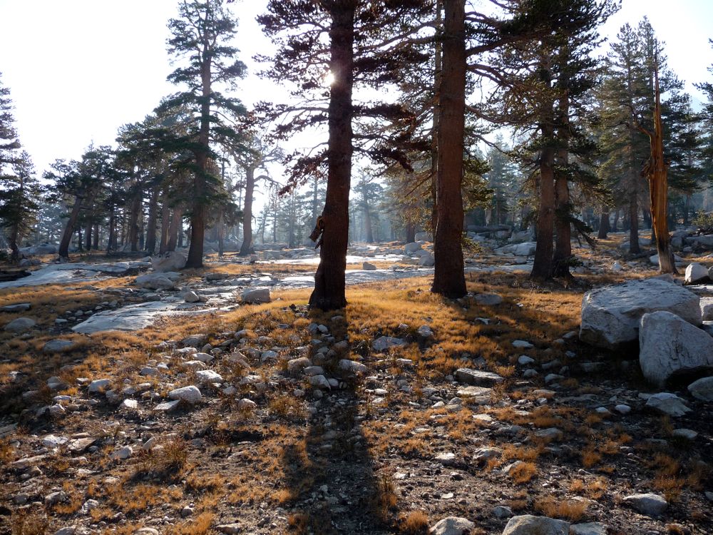
Around 7300 feet, there was a return to smooth sailing. This was one of my favorite parts of the whole trip, as the forest takes on a
"Lord of the Rings" like character. I put my boots back on and reveled in the feel of dirt and pine needles beneath my feet once more. From here to the junction with Woods Creek around 6900 feet, the forest is
pleasant and inviting. I crossed the river several times because there are still some nice thick areas, but nothing you couldn't get through if you were willing to get a little scraped up and coated with spider webs. As Arnot describes it, there are times when the ground appears as a veritable graveyard resulting from an ancient battle between the trees. But that just means you hear a lot of crunching underfoot; nothing really formidable.
One thing I should mention is that the forest really opens up to the east around 7000 feet and it looks like you can make an easy and gradual descent back to the Woods Creek trail if you just head southeast. I tried this, but there are some really sizeable dropoffs that make this difficult or impossible without climbing utensils. So I ended up cutting back strongly to the west and heading on a southwest line to meet up with Paradise Valley. This took me through some really dark, wet forest, but nothing too nasty. I went a little too far to the west, though, and tried to climb up the granite slope 200 feet or so to escape the forest before getting to Paradise Valley. This, again, was an ill-advised decision. There's another set of drop-offs right before the campgrounds along Woods Creek that would be a nightmare to get down. So I had to backtrack down to the river and follow it to the campgrounds.
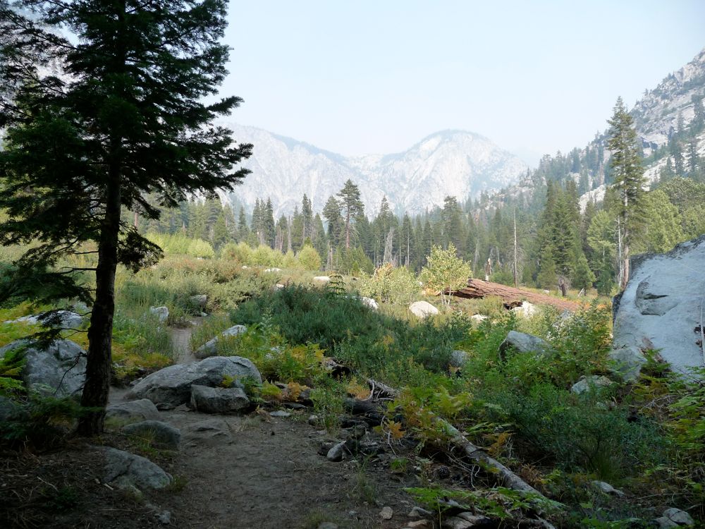
Meeting up with the trail was as pleasurable as ever. I ended up pitching my tent at one of the campsites in Paradise Valley. Man, did it feel good to not have to worry about my route the next morning!
Day 5 was a simple walk down from Paradise Valley and back out to Road's End. It was a lovely return to civilization.