


TRIP DETAILS
TRAIL MAP
OVERVIEW
Although I cannot speak authoritatively on Joshua Tree, I can say that what I saw of the park left me very impressed and wanting to come back. There is not a lot of water, which makes it difficult to pull off a multi-day trip. But if you're not a purist, you could manage to fill up at campgrounds and ranger stations, I think. We didn't find any water at Willow Hole, but it looked like if we dug for a bit, we'd be able to pull some out.
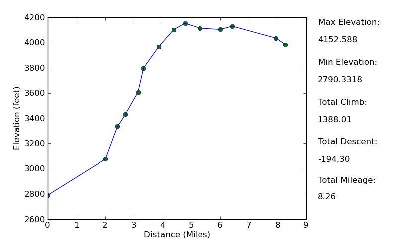
Elevation Profile
TRIP LOG
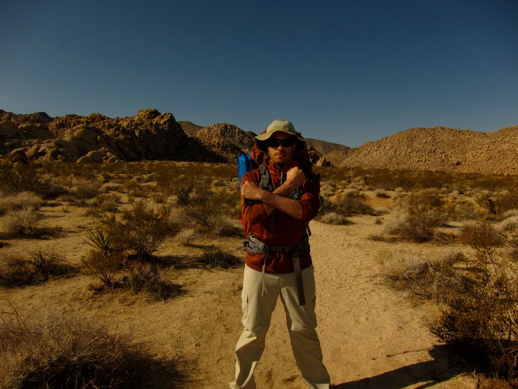
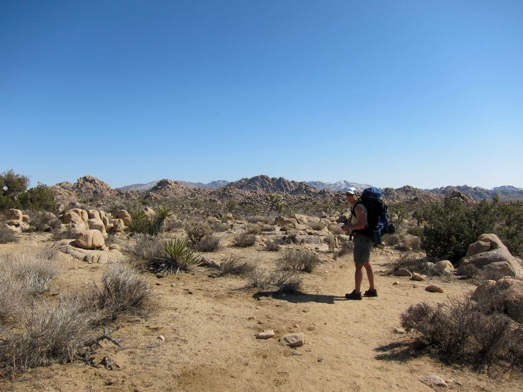
The beginning of this trip was a big mess, and it was mostly my fault. Mark, Khalid, and I were coming from the Bay Area. Kambiz, Chris, and Eric were coming from the Los Angeles area, but they were taking two different vehicles. We were all supposed to meet at Indian Cove Campground on Friday night, but when we rolled up to the front office, we found all the campsites were taken. Had I made a reservation, we would have been able to light up a fire and cook up the hot dogs and other stuff we had bought, and we would have been sleeping a few hundred yards away from the trailhead. Instead, we had to drive down the street to the Best Western and get a room there. So my first tip would be to reserve a site if you're planning to do what we did.
The next morning, we had to wait for Eric and Chris to drive out, and our 9 o'clock start time turned into an 11 o'clock start time. My patience was running thin as we all did a final pack check. I really wanted to make a trip out to the Wonderland of Rocks and climb Queen Mountain, but the longer we waited, the more that obsolete that possibility was becoming. Once we got on
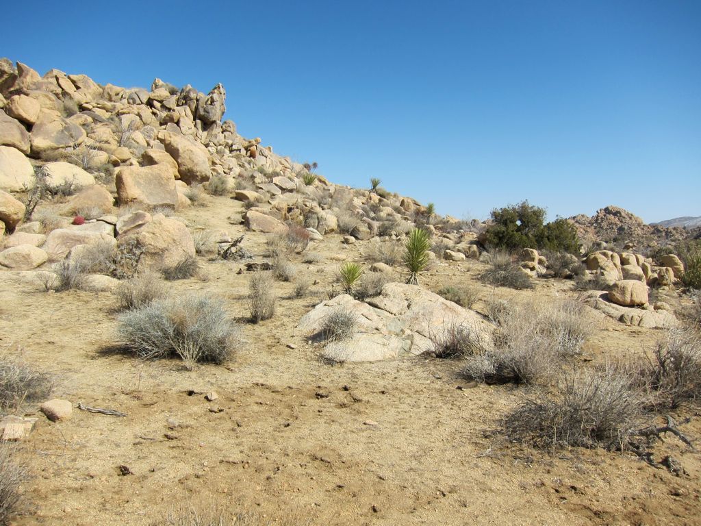
the trail, though, all my feelings of frustration melted away. The first couple of miles led us through a wide expanse of desert, surrounded on occasion by
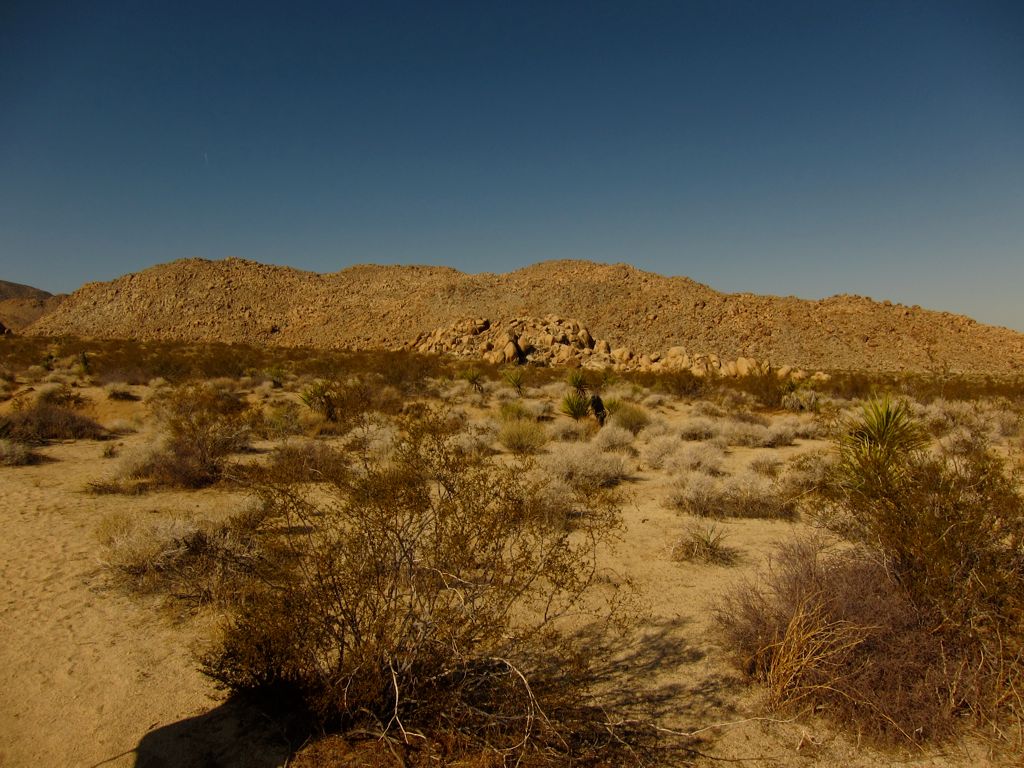
large piles of boulders. The perfect desert winter weather and
Khalid's amusing antics made the 45 minutes go by as quickly as ever.
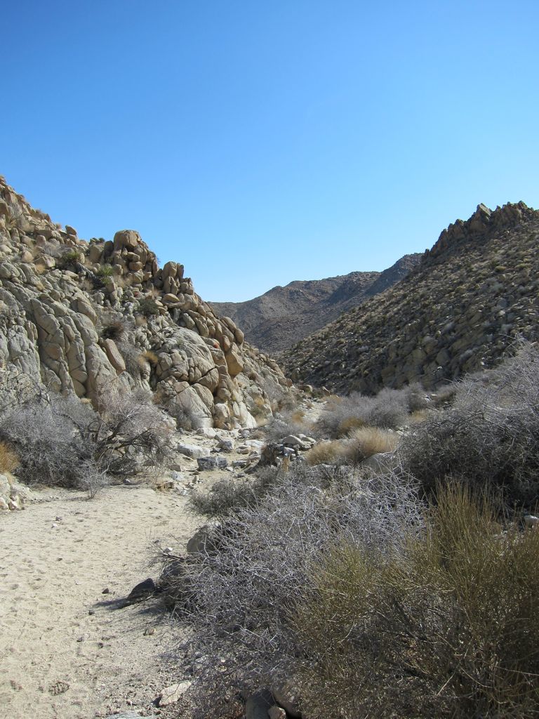
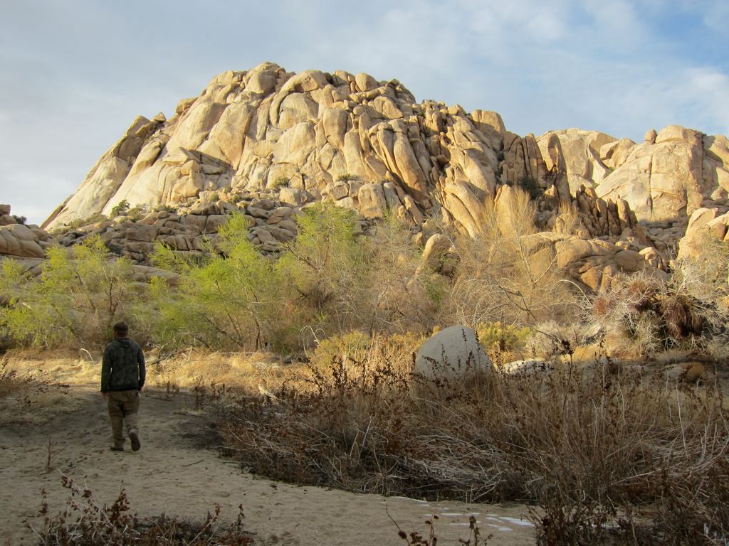
When we had traversed this open section, we were greated by the entrance to a wide canyon.
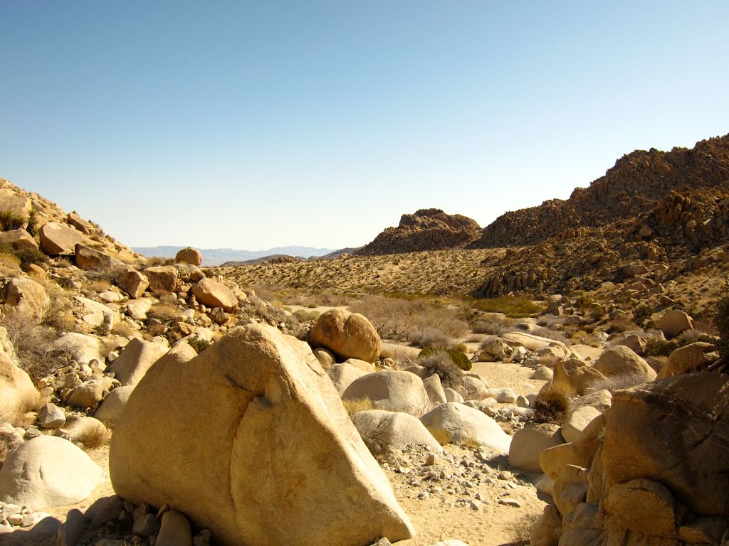
Large boulders freckle the landscape and create the
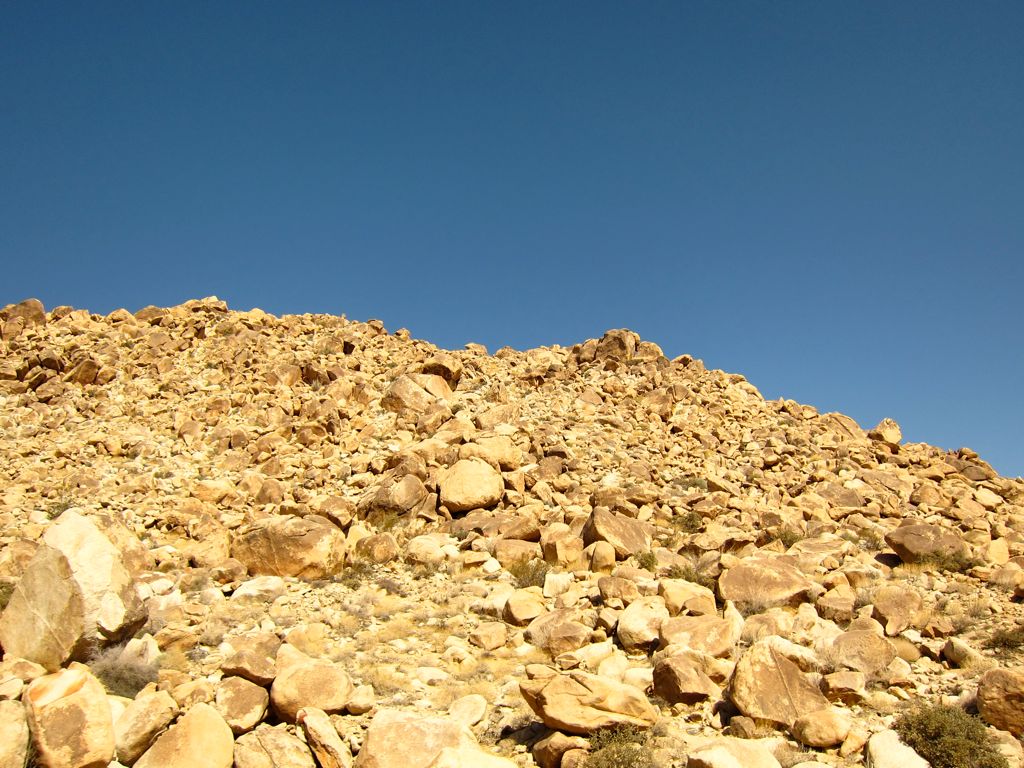
the walls of the canyon. For the first few hundred yards, the ascent is very gradual, but eventually the rocks become quite big, and more extensive
climbing is required to make way.
In a short while, the boulder climbing was replaced by a nicely carved trail. This section of the hike was by far my favorite. There are many sections where the canyon walls narrow and then
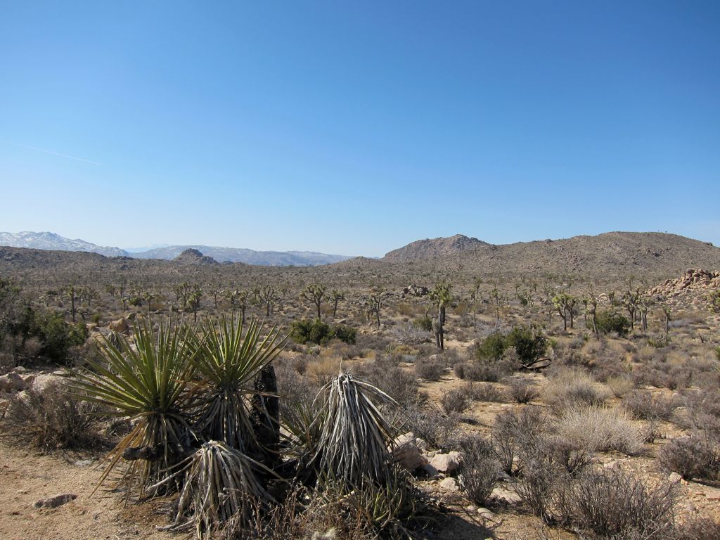
open back up, while the desert vegetation presents itself quite nicely. It all culminates in a fairly strenuous set of switchbacks that bring you up to a high plateau adorned with
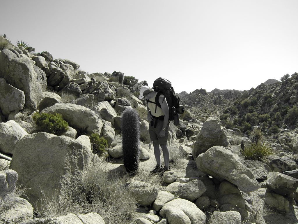
awesome cacti.
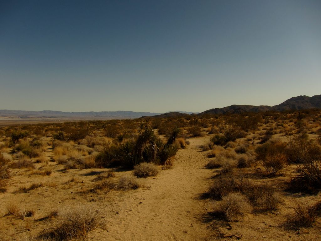
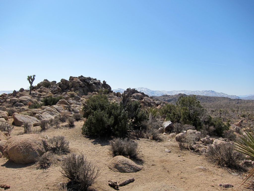
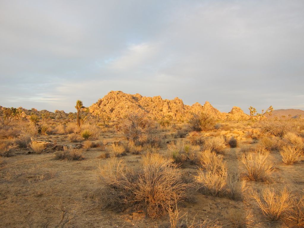
When the trail turns south, things start to flatten out, and the path widens out into a
sandy bottom (yes, that is a patch of snow; it had snowed heavily the few nights before and even at these low elevations some remains were left). The view is limited by large
walls of rocks for a small period of time, but then it
opens up with a spectacular glimpse of the ranges to the west and south.
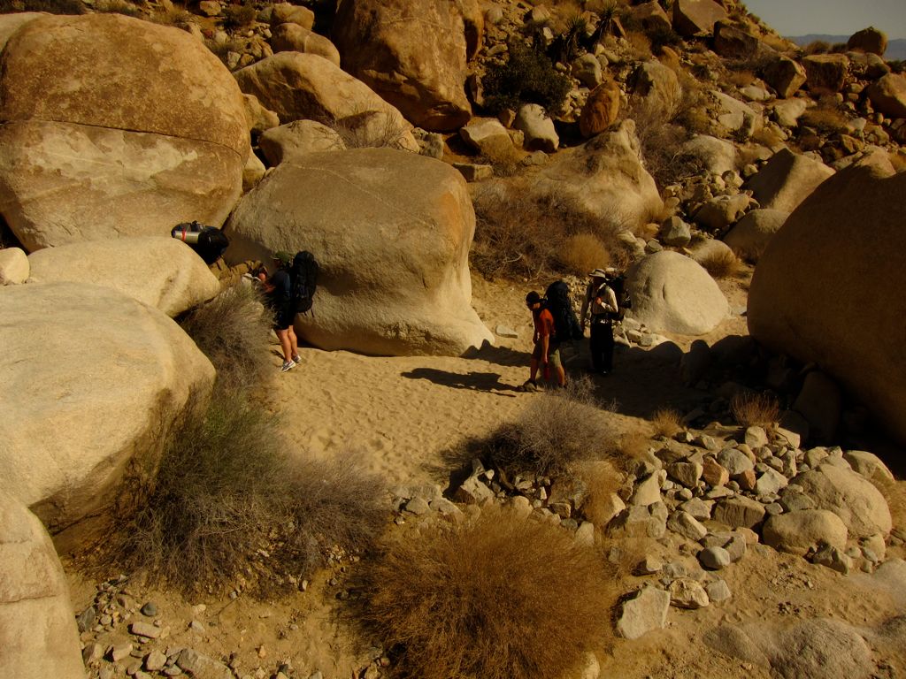
At this point of the trip, we had split into two separate groups. Chris, Khalid, and I had gone ahead, leaving Eric, Mark, and Kambiz trailing behind at a slower pace. When the clock struck noon, our group decided we'd hold up for lunch at a cool
clump of boulders and wait for the other guys to catch up. So we started eating our lunches and checking out the spot. A half an hour later, we had all dusted off our food, but there was still no sign of them. We figured at the rate they were hiking, it was possible that they may still be catching up, so we decided to wait a bit more before getting concerned. But after another half an hour, it was obvious something wasn't right.
We debated about what to do for a bit. Had we not seen them pass us by? I thought this was nearly impossible since we were close to the trail. Chris and I decided to climb a boulder wall to get a better look, but when we got to the top we couldn't see anything. Eventually we decided we'd hike
a bit further and see if anybody coming the other way had seen them pass. We got to the trail junction with Willow Hill and decided we'd stop and continue to ask people coming from both direction if they had seen them. After a few groups, one told us that they had passed three guys coming from the north. Pretty confident that it was them, we turned around and headed back where we came from. And sure enough, about a half a mile down the trail we found them.
It turns out they had gotten lost a few miles back. They had taken a wrong turn right near the point where the trail bends south. Since we hadn't even seen a junction, we hadn't considered this possibilty very strongly. But apparently, we had taken a slight shortcut right at the point where the Boy Scout trail joins up with another trail that leads off to a series of campsites. It isn't shown on any of the maps I have, which is pretty weird. But this is something to keep in mind if you're doing this trail with a big group of people.
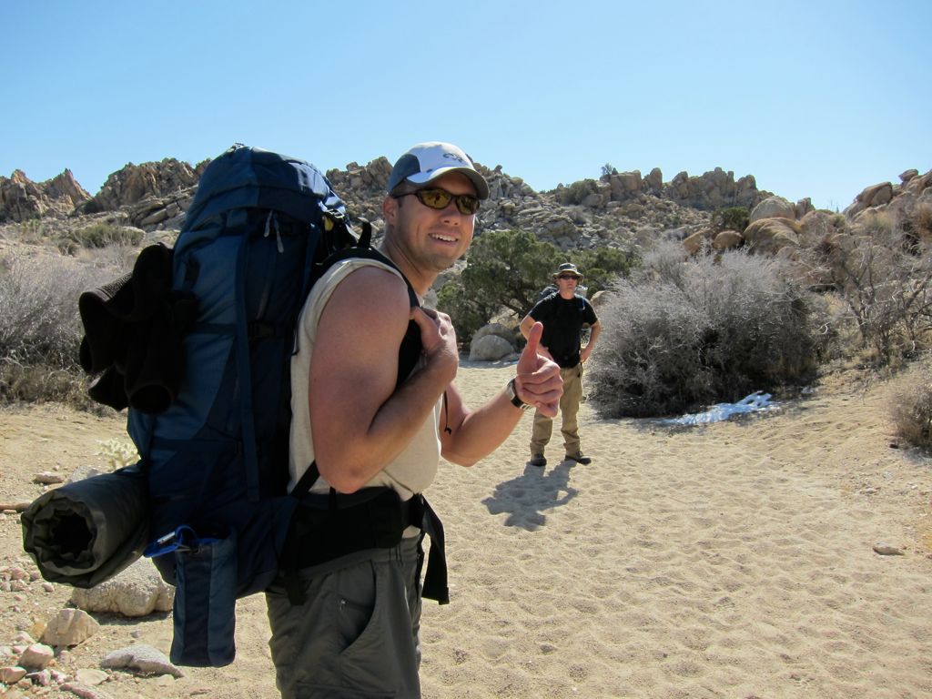
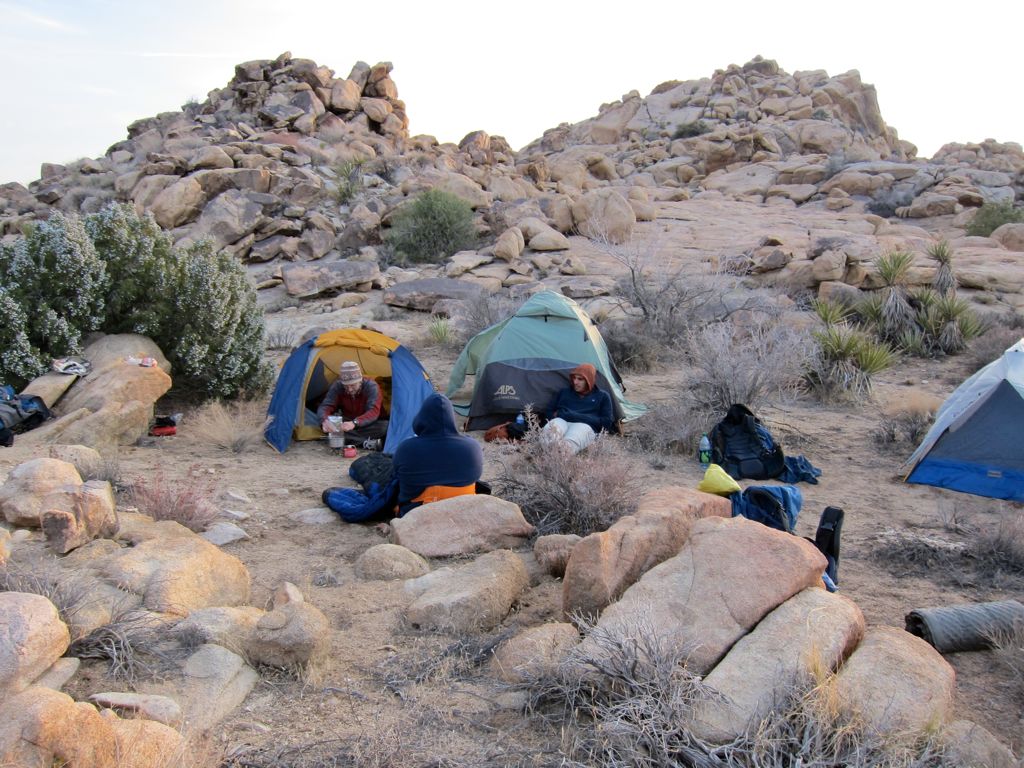
About two and a half hours had passed since we stopped for lunch. I still wanted to check out Queen mountain, but it was already about 3:00 pm, so that was pretty much out of the question. We decided we'd set up camp just to the east of the Boy Scout Trail, right behind a huge wall of rocks. I must say, the
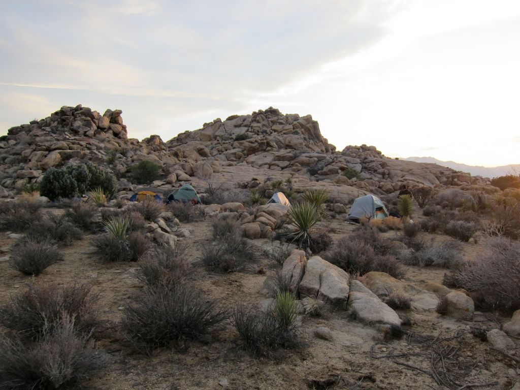
campsite was quite choice. It was still very early, and we had about 3-4 hours of daylight left. I wanted to at least check out Willow Hole and the Wonderland of Rocks, but all the other guys were tired and just wanted to hang around camp. I managed to convince Chris to come check things out with me, so we set off on a diagonal to meet up with the trail to Willow Hole.
The trip didn't take long. Within 45 minutes, we were approaching
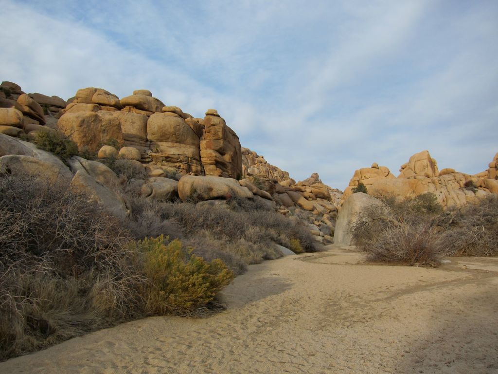
gigantic formations of rocks at the outskirts of the Wonderland of Rocks. The pictures really don't do it justice. Something about these
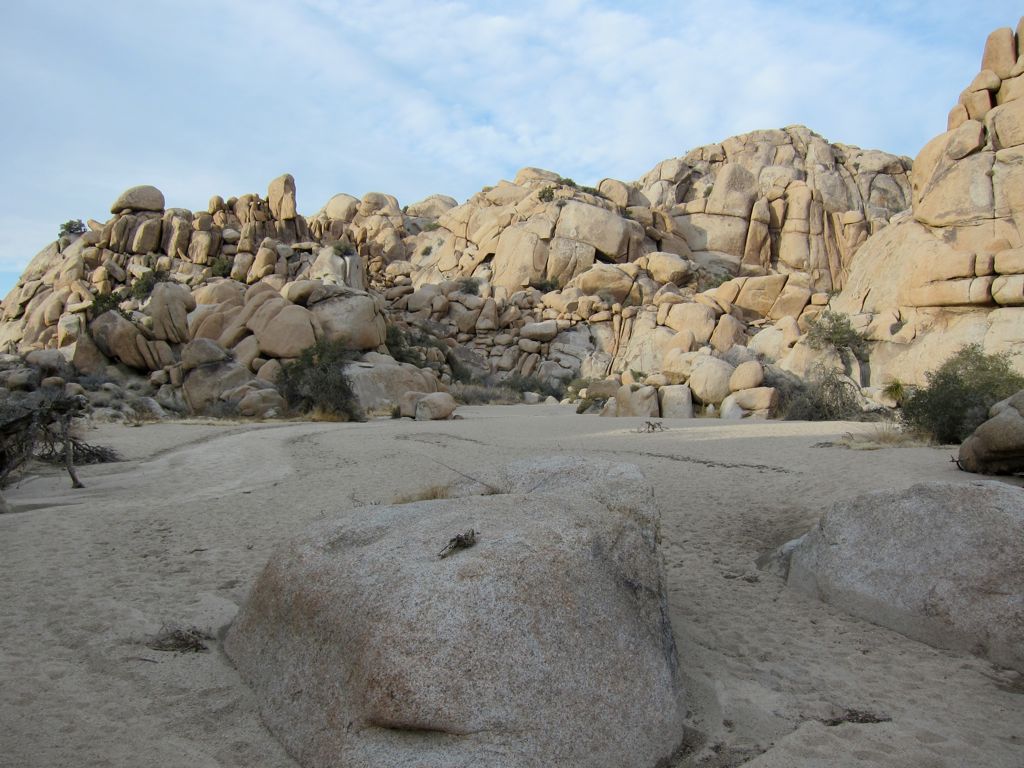
structures makes them seem so enormous when you're standing next to them. I really wish we had a full day just to climb and explore this area; it's one of those places that makes you feel like you're a kid in the backyard building a fort or something.
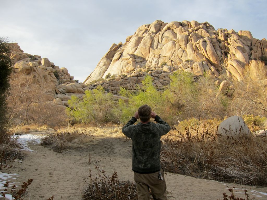
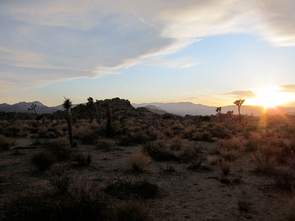
Willow Hole was equally intriguing. When we got there, the sun was setting and making the trees
glow. From the brief exploration of the area we did, there wasn't any surface water to fill up with.
Luckily each of us had about two full gallons of water waiting back at camp. We all way overdid it on the amount, but that's better than not bringing enough in my opinion. The walk back to camp was beautiful.
The rocks were ablaze with alpenglow and the silhouettes of the
Joshua trees created a lovely picture.
When we got back to
camp, the other guys had already started eating. Chris and I got our food going and joined in the banter of obscene statements that were being thrown around. It was a great night. It got pretty cold, but most of us had enough layers to keep warm. At one point we started to burn some of the wood. We stopped out of fear that the rangers would come by and give us a ticket. Even with the cold, everyone was in a great mood after an excellent day of Joshua Tree.
There's not much exciting to say about the return trip. I guess the one thing to point out is that if you're trying to get back to the parking area near Indian Cove, you have to make sure to break off of the main section of the Boy Scout Trail before it winds north. We failed to get off the trail and ended up in a wash that was bringing us further north than our cars. So we ended up going cross country and backtracking south a bit.