


TRIP DETAILS
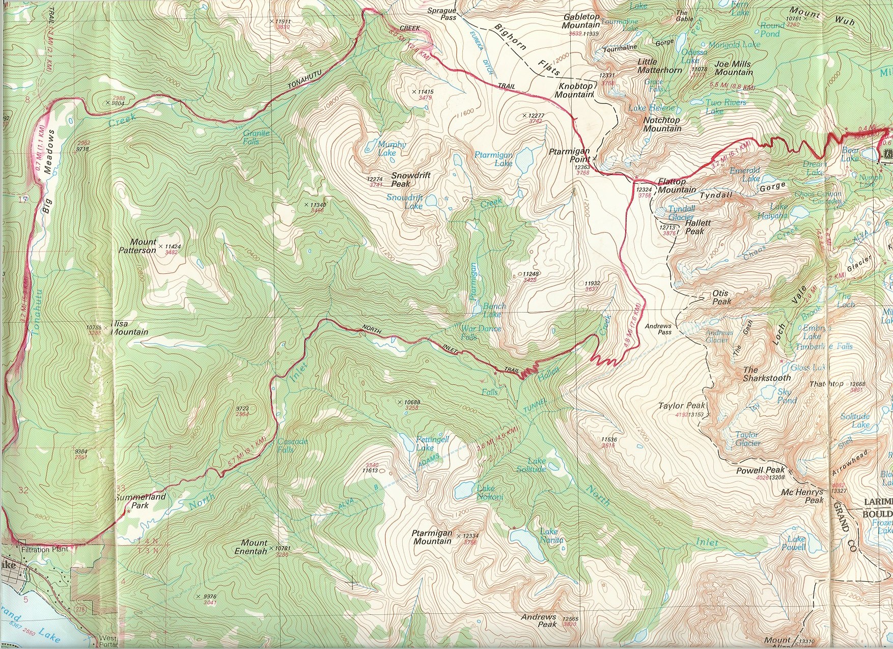
TRAIL MAP
OVERVIEW
Rocky Mountain National Park is a phenomenal place in my book. Yes, it's a true phenom. This was the first solo trip I did, and the route shown here showed me a blend of all kinds of great conditions: snow storms at 12,000 feet with 25 mph winds, a steady drizzle that lasted 20 hours, an explosive thunderstorm that passed in less than an hour, and sub-zero nights that taught me about how bad it is to keep your sleeping bag rolled up in a ball for 98% of the year. The route shown here has an incredible diversity in itself. You pass over the continental divide and its alpine tundra, through sweetly scented pine forests and one of the loveliest groves of aspens I've ever seen, and gorgeous, tranquil meadows. It's been a really long time since I did this trip and my notes aren't that great. But I can at least show some pictures that'll show you the ridiculous amount of diversity this route has to offer and give you an idea of what to expect.
TRIP LOG
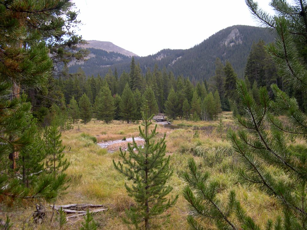
The parking lot for the Bear Lake Trailhead is about 2-3 miles away from the actual trailhead, and a shuttle runs every 30 minutes or so to get people to and fro. The trail starts climbing immediately and offers some
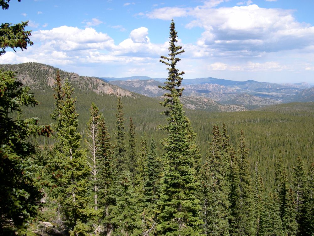
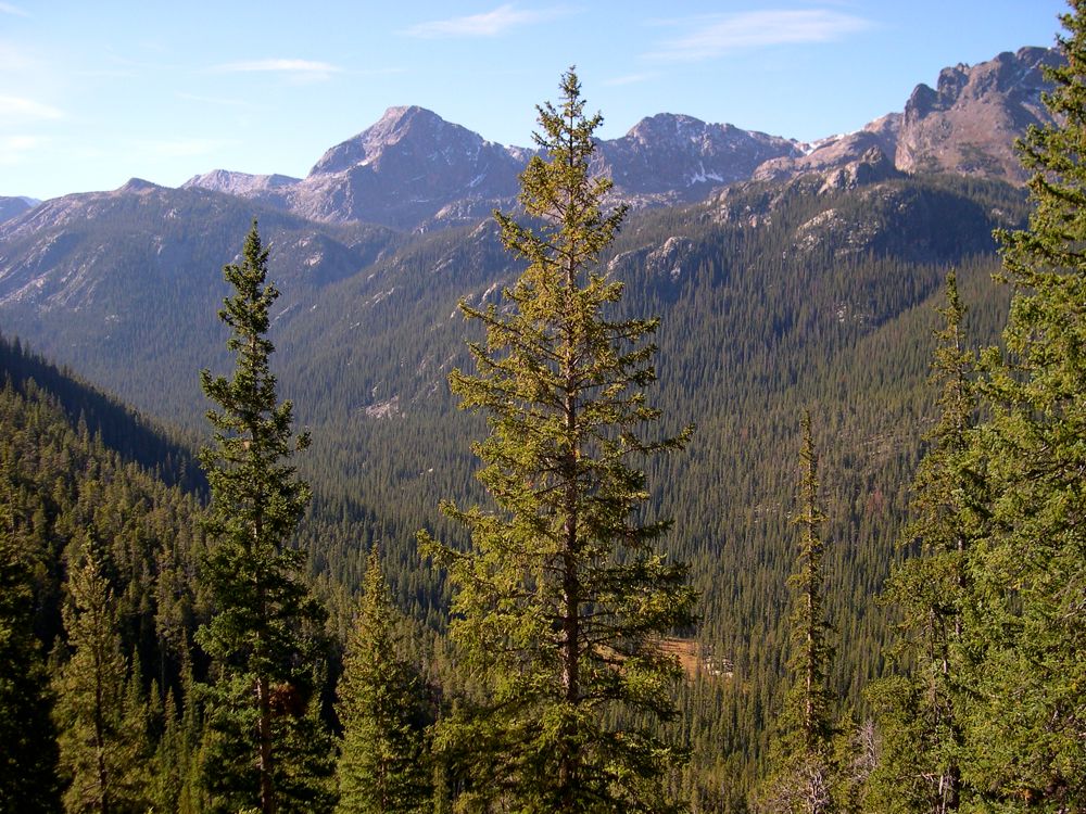
great views of the
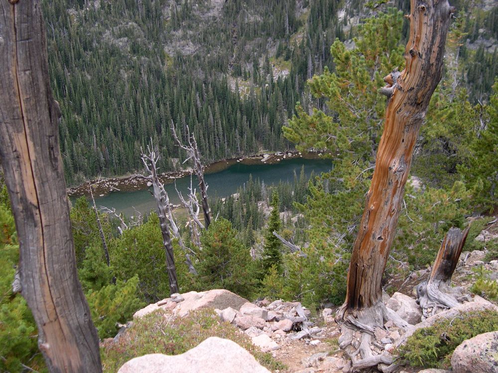
forest below and the
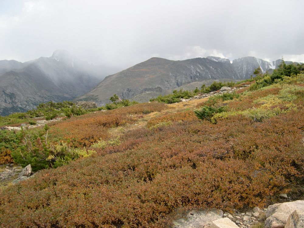
surrounding mountains. I had never really paid attention to the way that vegetation varies with altitude, but this trail really didn't give me a choice. At around 11,000 feet, all the tall trees had vanished and there were only
little pines and
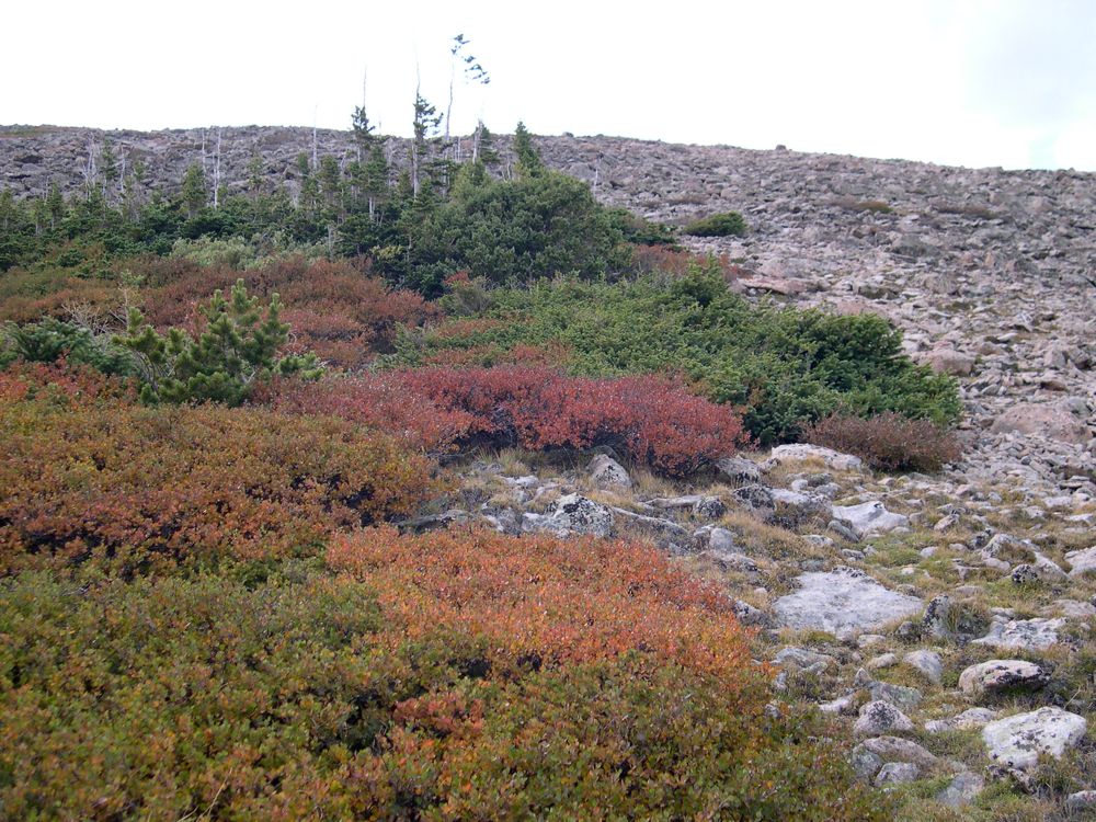
brilliantly colored shrubs surrounding me.
It was about 1 pm, and a
storm was moving in. I remember cowering under my hood slightly and trying to reassure myself that I had the gear and the know-how to deal with the sub-zero temperatures and the intense winds that were getting stronger by the minute. Right before I got to the top of
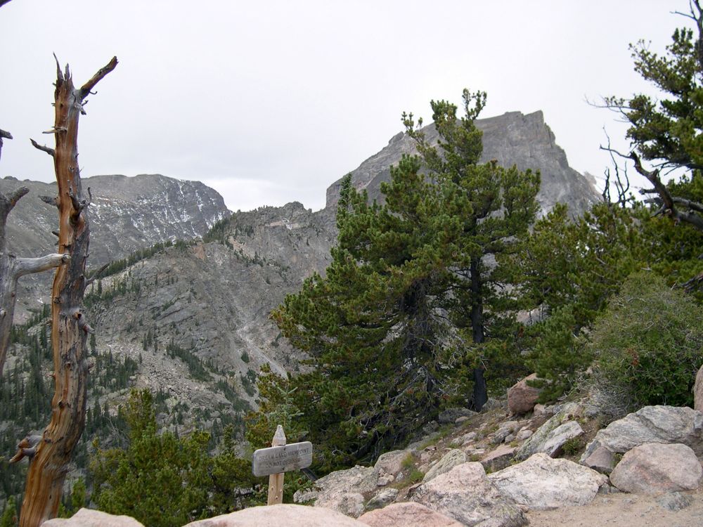
Flattop Mountain, the sky got real dark and it started snowing. It's funny, I never really "hope" that there'll be a storm when I'm going over a pass, but the read heather and alpine grass looks so incredible against the grey skies that sometimes I'm glad when it happens. There isn't really a "summit" on Flattop Mountain; it's more of a plateau that gives you great views to the
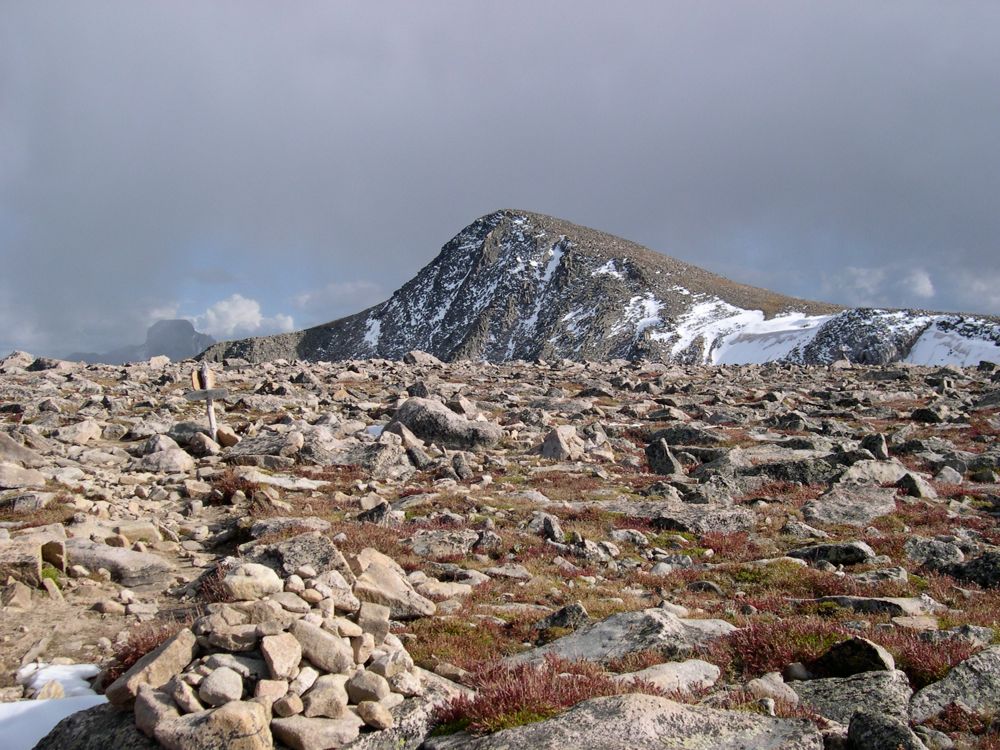
north and
west and
east...yeah, pretty much every direction. I guess that explains the name. I was feeling pretty kick-ass after getting to the top, especially since the winds were dying and the skies were clearing, so I took a
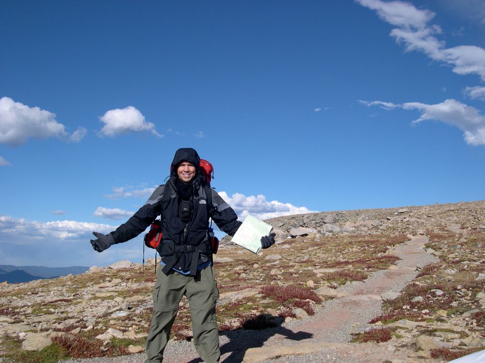
picture of myself.
The trip down to Tonahutu Creek is a
nice and gradual descent. Once I made it to about 10,000 feet, I found a nice little area in the woods to
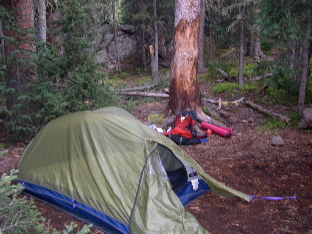
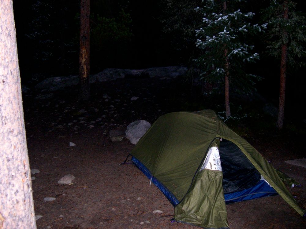
set up camp and build a fire. I was pretty damned happy about one thing: my Arcteryx bag took a boat load of rain and snow, but everything inside was as dry as could be. They really do make 'em waterproof.
I'm not going to lie. The second day kind of sucked. It's not because of the terrain or scenery; those were pretty sweet. But it rained pretty much the whole day and into the evening, and I decided to stick to the trail instead of going cross-country and seeing the area around Mount Patterson.
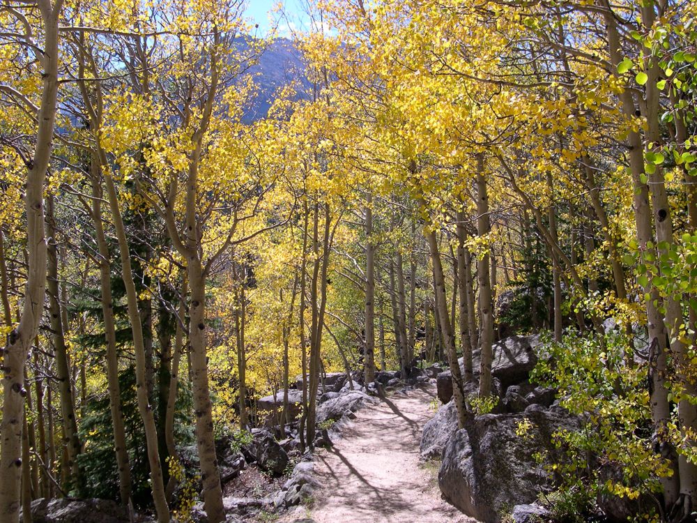
Possbily my favorite part of the whole trip actually came early on the second day. After passing
Big Meadows, the trail brings you through an amazing
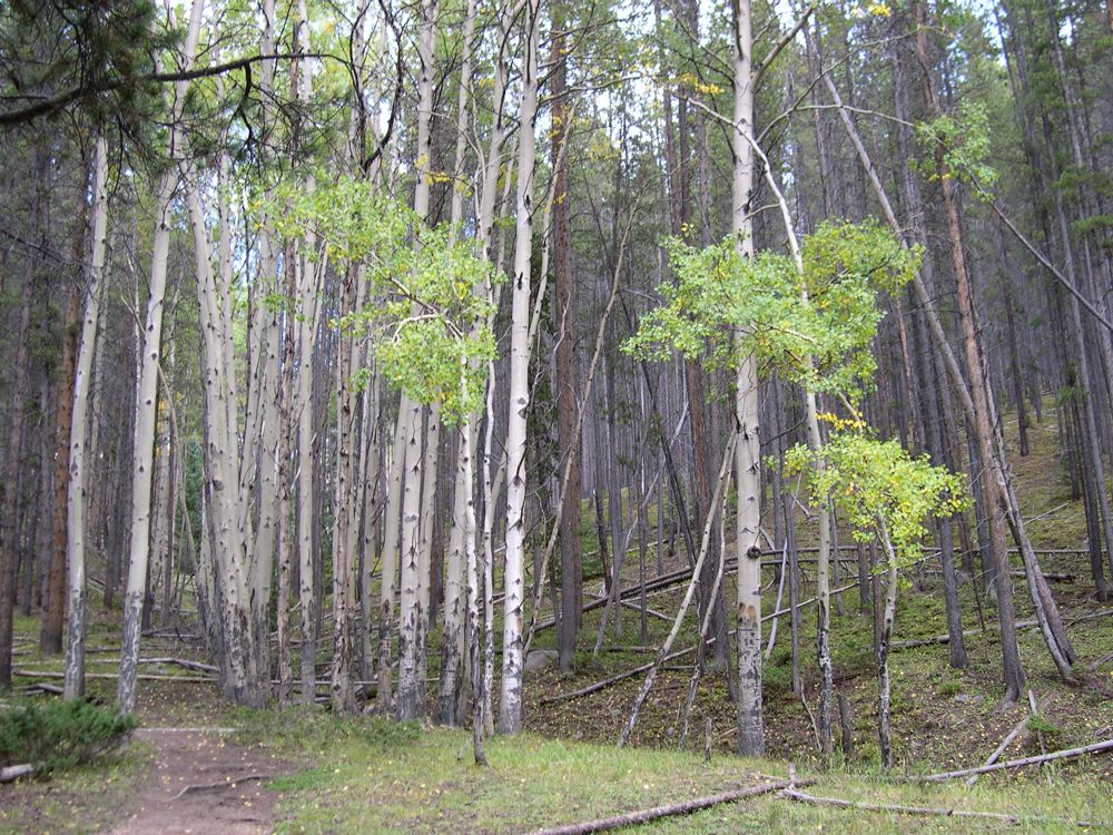
grove of
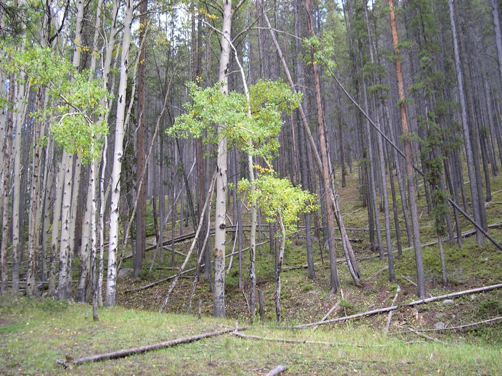
aspens. But because I chose to stick to the trail, I actually had to come to a junction close to a trailhead and parking lot, where there are some cool looking
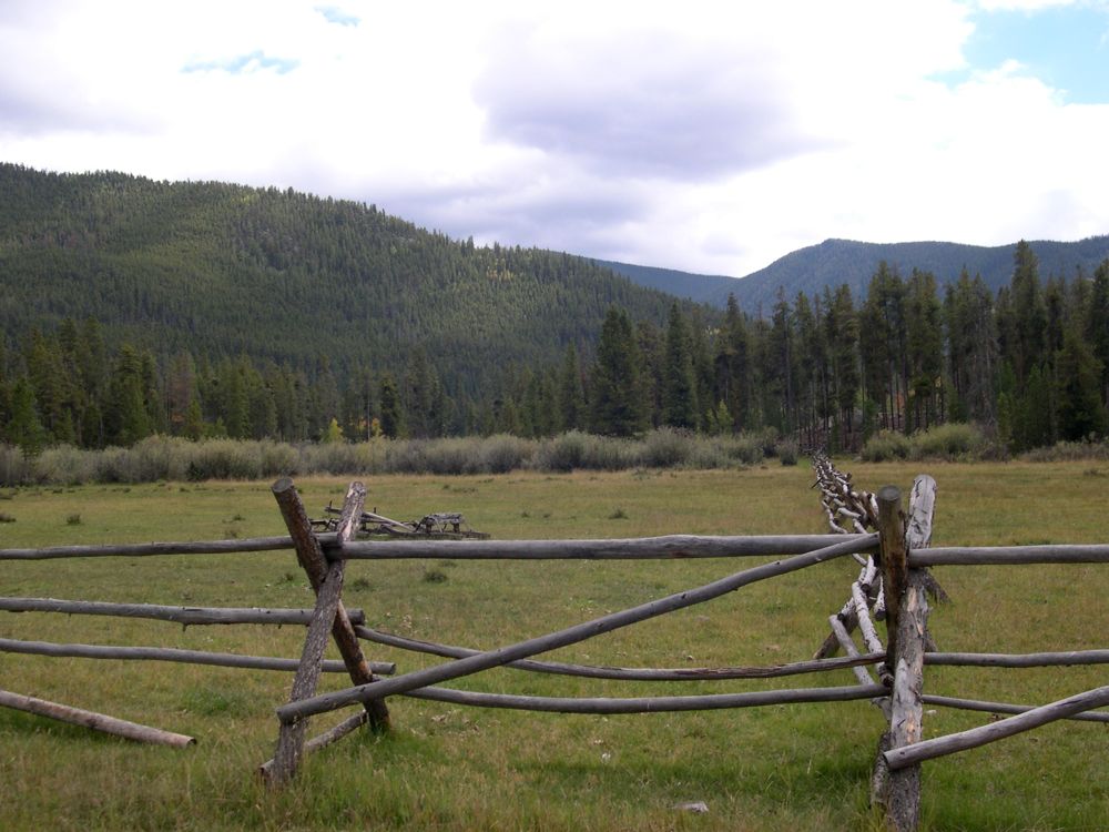
fences.
I forget exactly where I roamed off to after finding the parking lot. I did a little loop on a side trail somewhere after Big Meadows that wasn't all that great. But I do know that I ended up making camp somewhere along Tonahutu Creek and eating dinner while the rain continuously poured down around me.
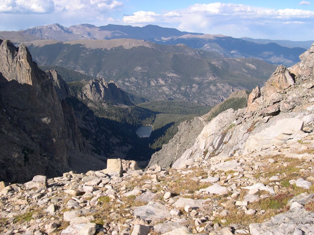
Day 3 was awesome in comparison to day 2. I had to deal with more rain, but this time it was in an all out, no holds barred style that left me amazed at the power of mother nature. I spent most of the day making it past Summerland Park and
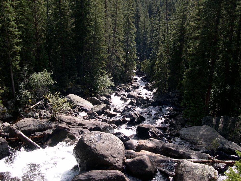
Cascade Falls. I'm not sure where the time went, but at around 4 pm, I looked up an noticed the sky was getting pretty cloudy, and soon enough I started hearing some loud thunder in the distance. I was somewhere just past Cascade Falls when an enormous lightning bolt struck loud and close enough to nearly make me soil myself. I decided it'd be best to get in my tent and on top of some insulation, so I set up my tent as quick as I could and got in right before the drain drops started turning to enormous pellets of hail. Laying in my tent on top of my thermarest, listening to the hail and thunder was a really awesome experience. The storm only lasted about 45 minutes, after which I got out of my tent and got a fire going after a good deal of struggling.
One thing's for sure: that night it got hella cold. My REI sleeping bag that was rated for 20 degrees left me shivering throughout the night; it didn't work for shit. I realized sometime later that the way sleeping bags retain heat is by keeping their fibers nice and spaced out. It's the air trapped in between that does the insulating. When you keep your bag rolled up all year long in a stuff sack (as I had been doing) those fibers get packed closely together and stay clumpy permanently even when you roll the thing out. Some of you might think this is plain obvious, but even after getting a bachelor's degree in physics I didn't appreciate just how much "memory" the synthetic filling in a sleeping bag has.
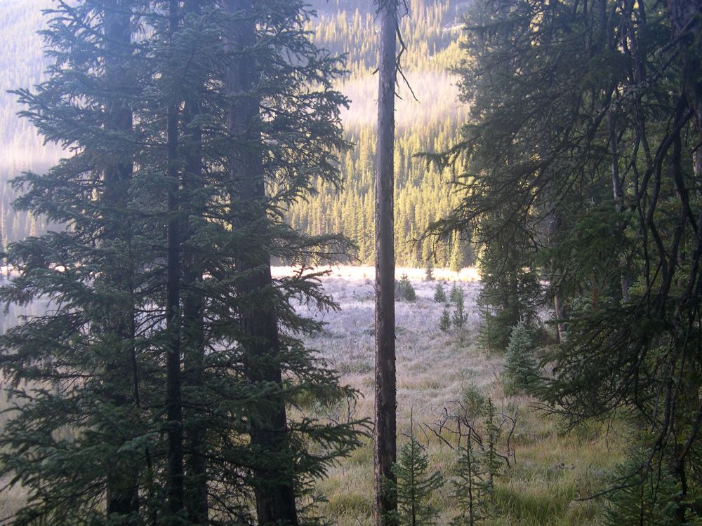
Since my progress on day 3 had been brought to a crawl by rain and storms, I needed to play some catchup on the trail to get out before my parents would be calling a ranger and telling them their son was lost in the woods. So I woke up at 4:30 am to get an early start. And damn, damn, damn, was it cold that morning. It had snowed overnight and there was a good amount of
snow on the trees.
The extreme cold made for some
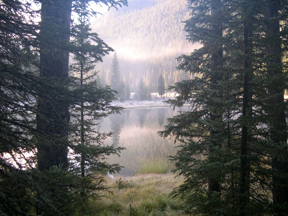
really
wicked
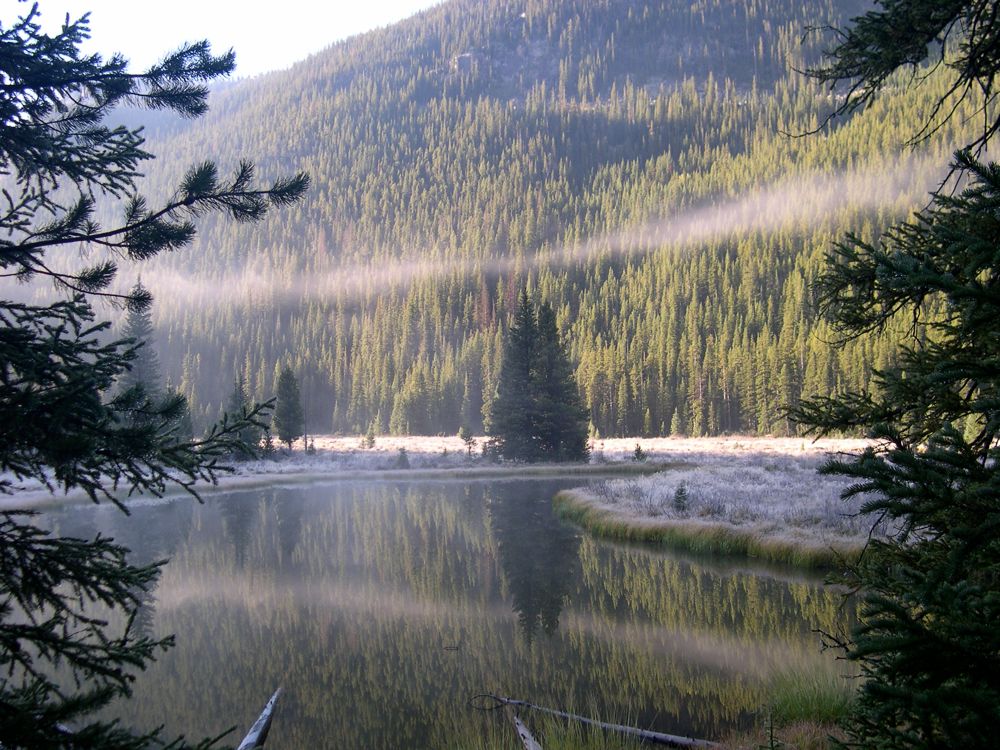
fog and
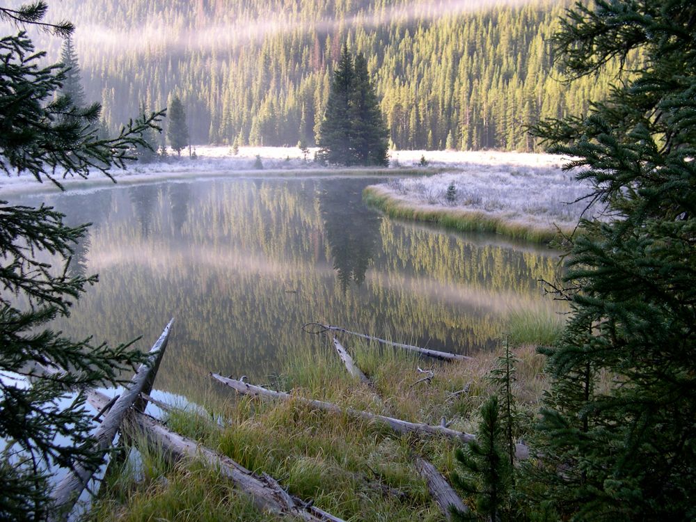
snow coating the grass and blanketing a small lake along the trail. As I started to
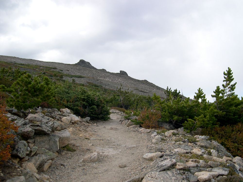
climb up towards Flattop Mountain once again, I got to enjoy the company of some
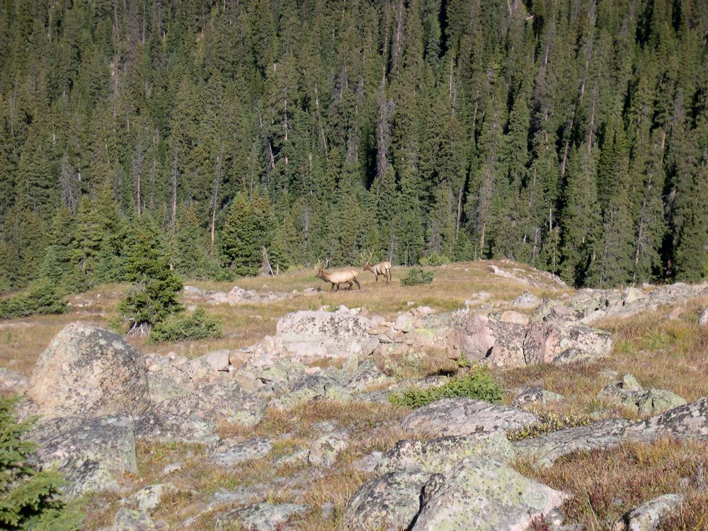
big ol' mule deer The
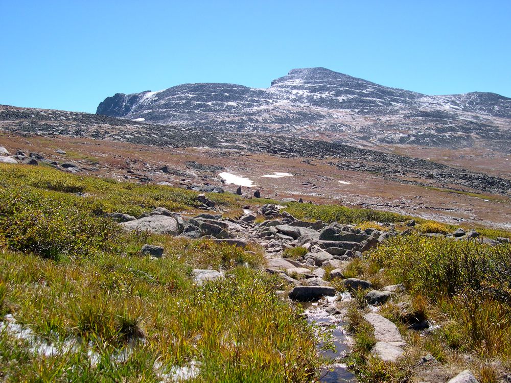
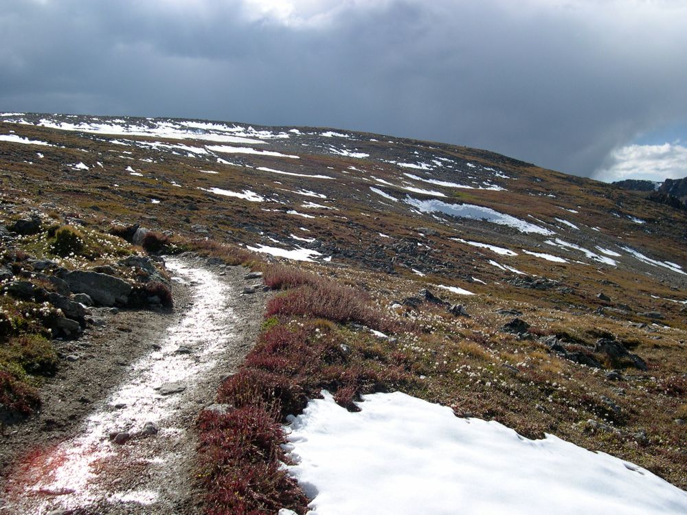
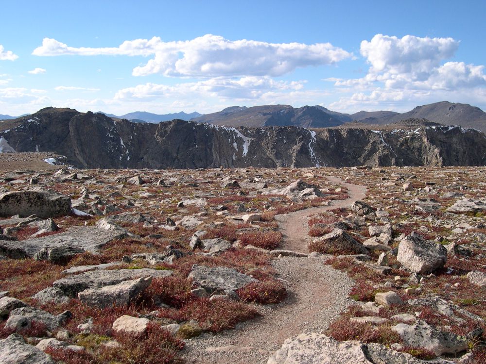
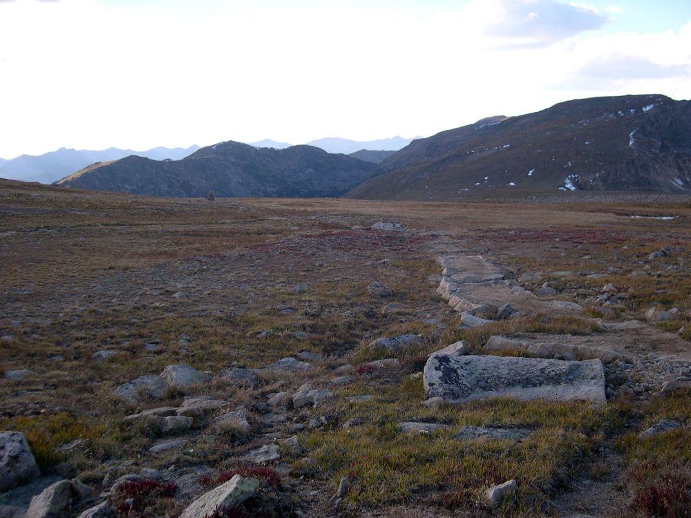
views going up to the summit are pretty righteous. The landscape is dotted with small
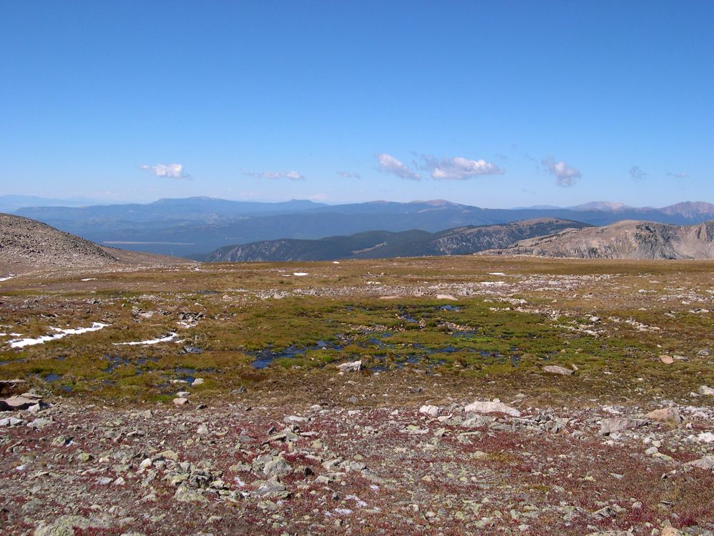
puddles and
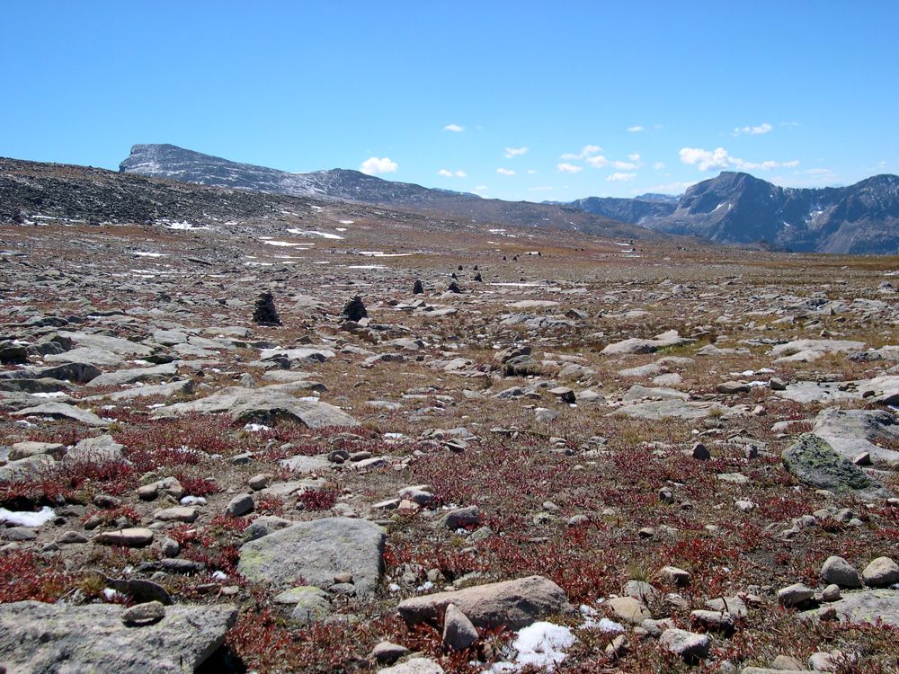
cairns that show you the way back. Really, it's just some phenomenal scenery the way around.
On the descent to Bear Lake, I had to stop and admire another fine grove of
aspens that I hadn't paid enough attenion to on my way in. When I finally got to the trailhead, I waited about 20 minutes for the shuttle to come around. When I climbed aboard I felt like everybody could literally taste the awful scent coming off my body. I kept my head down, feeling sorry for the people that had to put up with this smelly ass kid riding on a bus with all the windows closed. Poor bastards.